Transport Functions
Rail
Road
Hub Profile
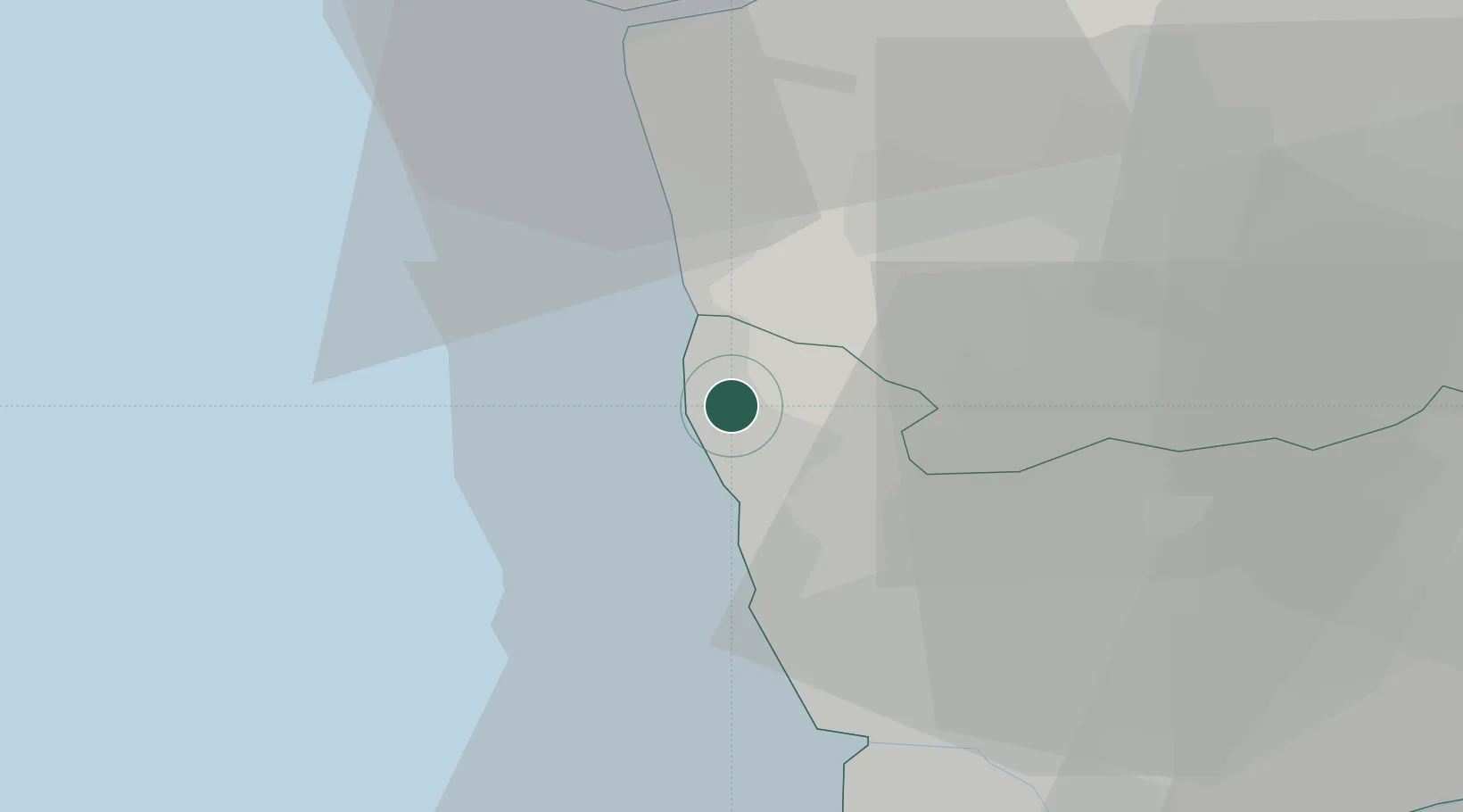
Place type
Populated place
Region
Porto
Population
2,856
Time zone
Europe/Lisbon
Elevation
26 m
Location
Nearby Logistics Neighbours
Cities
- 1Póvoa de Varzim2 km
- 2Laundos5 km
- 3Vila do Conde6 km
- 4Mindelo10 km
- 5Fajozes11 km
Ports
- 1Porto De Leixoes25 km
- 2Oporto29 km
- 3Viana Do Castelo34 km
- 4Aveiro84 km
- 5Vigo93 km
Airports
- 1Francisco de Sá Carneiro Airport18 km
- 2Vilar de Luz Airfield24 km
- 3Braga Municipal Aerodrome33 km
- 4Ovar Air Base55 km
- 5Vila Real Airport87 km
Trade Zones
DatabookThe Record of Consolidated Knowledge
Portugal beyond logistics?