Transport Functions
Port
Road
Multimodal
Hub Profile
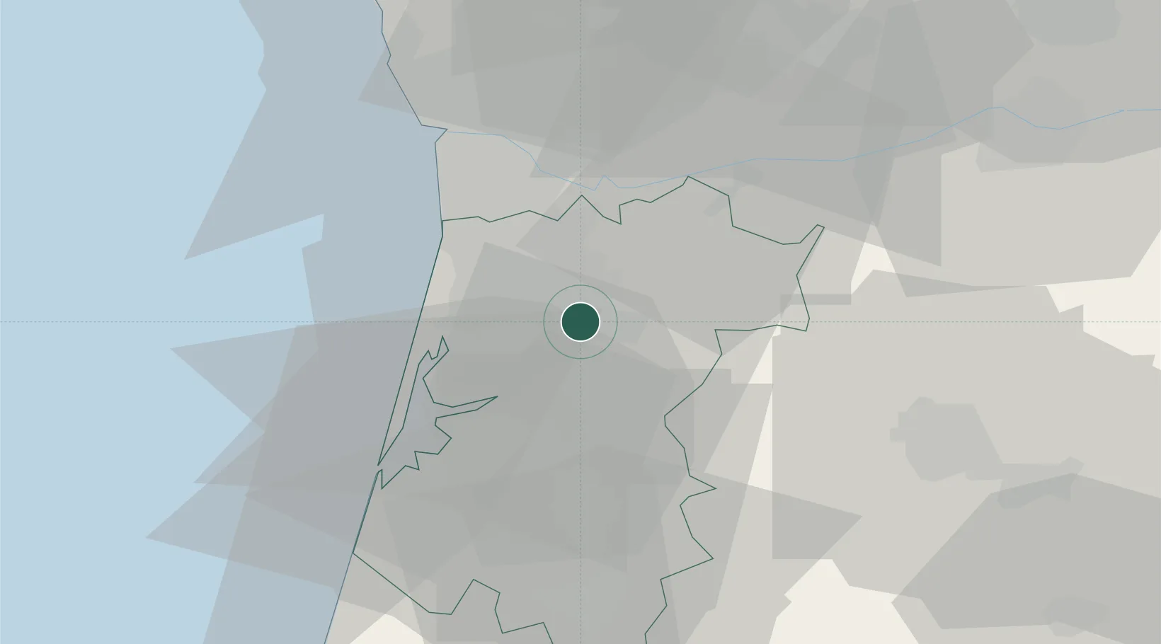
Place type
Populated place
Region
Aveiro
Time zone
Europe/Lisbon
Elevation
256 m
Location
Nearby Logistics Neighbours
Cities
- 1Oliveira de Azemeis5 km
- 2São João da Madeira6 km
- 3Vale de Cambra6 km
- 4Vila Chã6 km
- 5Fajoes6 km
Ports
- 1Aveiro29 km
- 2Oporto36 km
- 3Porto De Leixoes41 km
- 4Figueira Da Foz87 km
- 5Viana Do Castelo98 km
Airports
Trade Zones
DatabookThe Record of Consolidated Knowledge
Portugal beyond logistics?