Transport Functions
Multimodal
Hub Profile
Place type
Populated place
Region
Aveiro
Time zone
Europe/Lisbon
Elevation
381 m
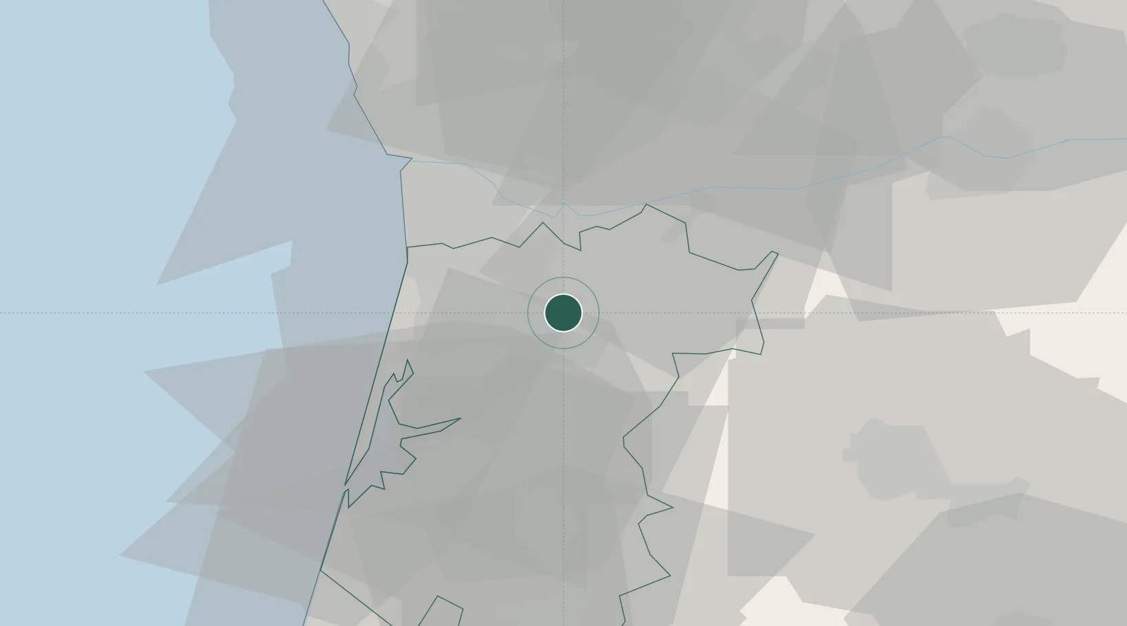
Location
Nearby Logistics Neighbours
Cities
- 1Escariz2 km
- 2Pindelo6 km
- 3São João da Madeira7 km
- 4Vale de Cambra8 km
- 5Vila Chã8 km
Ports
- 1Oporto33 km
- 2Aveiro36 km
- 3Porto De Leixoes38 km
- 4Figueira Da Foz93 km
- 5Viana Do Castelo94 km
Airports
Trade Zones
DatabookThe Record of Consolidated Knowledge
Portugal beyond logistics?