Transport Functions
Rail
Road
Hub Profile
Place type
Populated place
Region
Porto
Time zone
Europe/Lisbon
Elevation
51 m
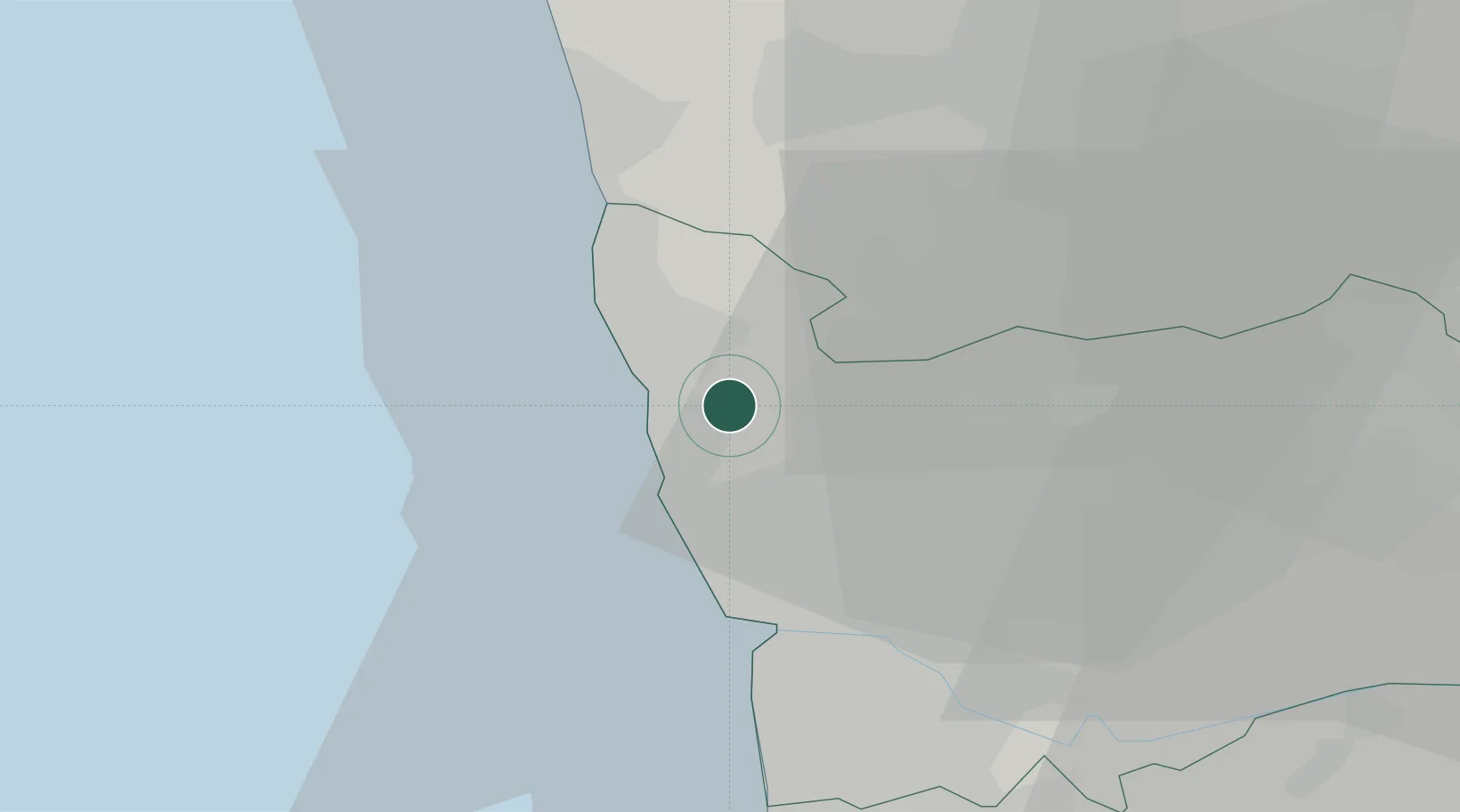
Location
Nearby Logistics Neighbours
Cities
- 1Mindelo3 km
- 2Vilar do Pinheiro6 km
- 3Gemunde6 km
- 4Angeiras6 km
- 5Vila do Conde7 km
Ports
- 1Porto De Leixoes15 km
- 2Oporto19 km
- 3Viana Do Castelo44 km
- 4Aveiro74 km
- 5Vigo102 km
Airports
- 1Francisco de Sá Carneiro Airport8 km
- 2Vilar de Luz Airfield15 km
- 3Braga Municipal Aerodrome36 km
- 4Ovar Air Base45 km
- 5Vila Real Airport81 km
Trade Zones
DatabookThe Record of Consolidated Knowledge
Portugal beyond logistics?