Transport Functions
Rail
Multimodal
Hub Profile
Place type
Populated place
Region
West Pomerania
Time zone
Europe/Warsaw
Elevation
81 m
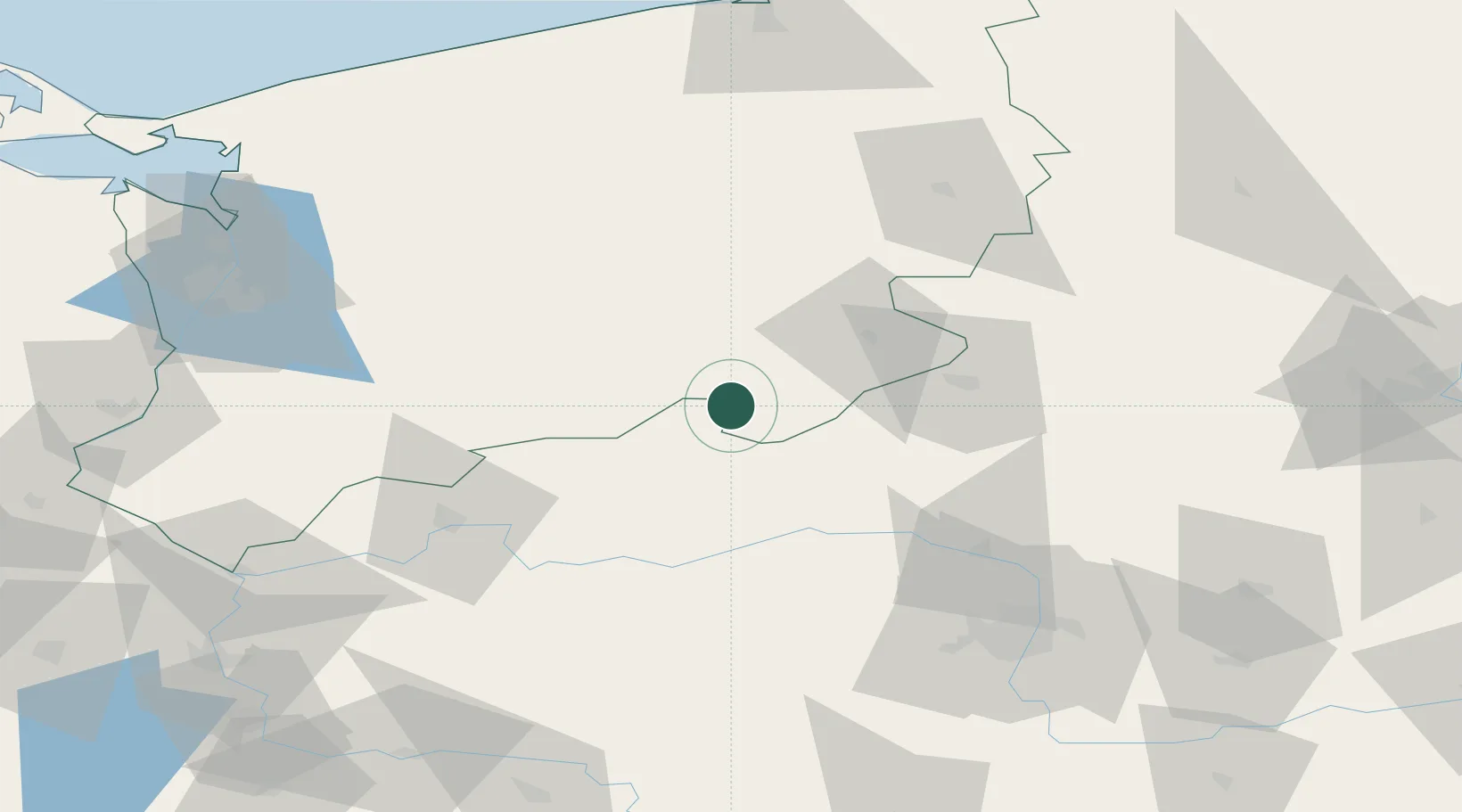
Location
Nearby Logistics Neighbours
Cities
- 1Czlopa3 km
- 2Tuczno12 km
- 3Wielen23 km
- 4Miroslawiec28 km
- 5Drezdenko-Chyze32 km
Ports
- 1Szczecin108 km
- 2Police113 km
- 3Kolobrzeg131 km
- 4Swinoujscie151 km
- 5Darlowo152 km
Airports
Trade Zones
- 1Szczecin Duty Free Zone106 km
- 2Kostrzyń-Słubice SEZ110 km
- 3Swinoujscie Duty Free Zone149 km
- 4Słupsk SEZ (Słupska SSE)166 km
- 5Pomeranian SEZ (Pomorska SSE)192 km
DatabookThe Record of Consolidated Knowledge
Poland beyond logistics?