Transport Functions
Port
Hub Profile
Place type
District seat
Region
Subcarpathia
Population
2,474
Time zone
Europe/Warsaw
Elevation
203 m
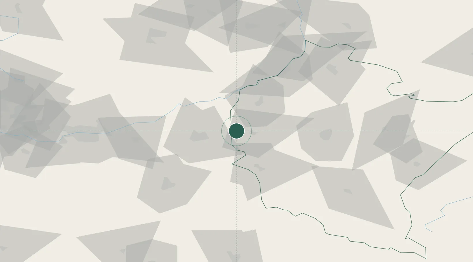
Location
Nearby Logistics Neighbours
Cities
- 1Debica12 km
- 2Partynia17 km
- 3Pustków17 km
- 4Dabrowa Tarnowska22 km
- 5Leg Tarnowski25 km
Ports
- 1Gdansk508 km
- 2Nowy Port515 km
- 3Baltiysk516 km
- 4Kaliningrad518 km
- 5Gdynia530 km
Airports
- 1Rzeszów-Jasionka Airport54 km
- 2Kraków John Paul II International Airport106 km
- 3Poprad-Tatry Airport133 km
- 4Warsaw Radom Airport147 km
- 5Košice International Airport156 km
Trade Zones
DatabookThe Record of Consolidated Knowledge
Poland beyond logistics?