Transport Functions
Multimodal
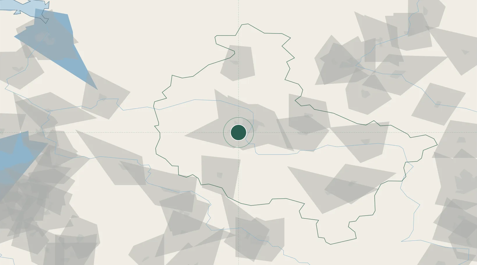
Hub Profile
Place type
District seat
Region
Greater Poland
Population
5,144
Time zone
Europe/Warsaw
Elevation
79 m
Location
Nearby Logistics Neighbours
Ports
- 1Szczecin192 km
- 2Police202 km
- 3Kolobrzeg224 km
- 4Darlowo233 km
- 5Swinoujscie243 km
Airports
Trade Zones
- 1Legnica SEZ (Legnicka SSE)133 km
- 2Kostrzyń-Słubice SEZ149 km
- 3Wałbrzych SEZ INVEST-PARK (Wałbrzyska SSE)174 km
- 4Kamienna Góra182 km
- 5Szczecin Duty Free Zone191 km
DatabookThe Record of Consolidated Knowledge
Poland beyond logistics?