Transport Functions
Rail
Road
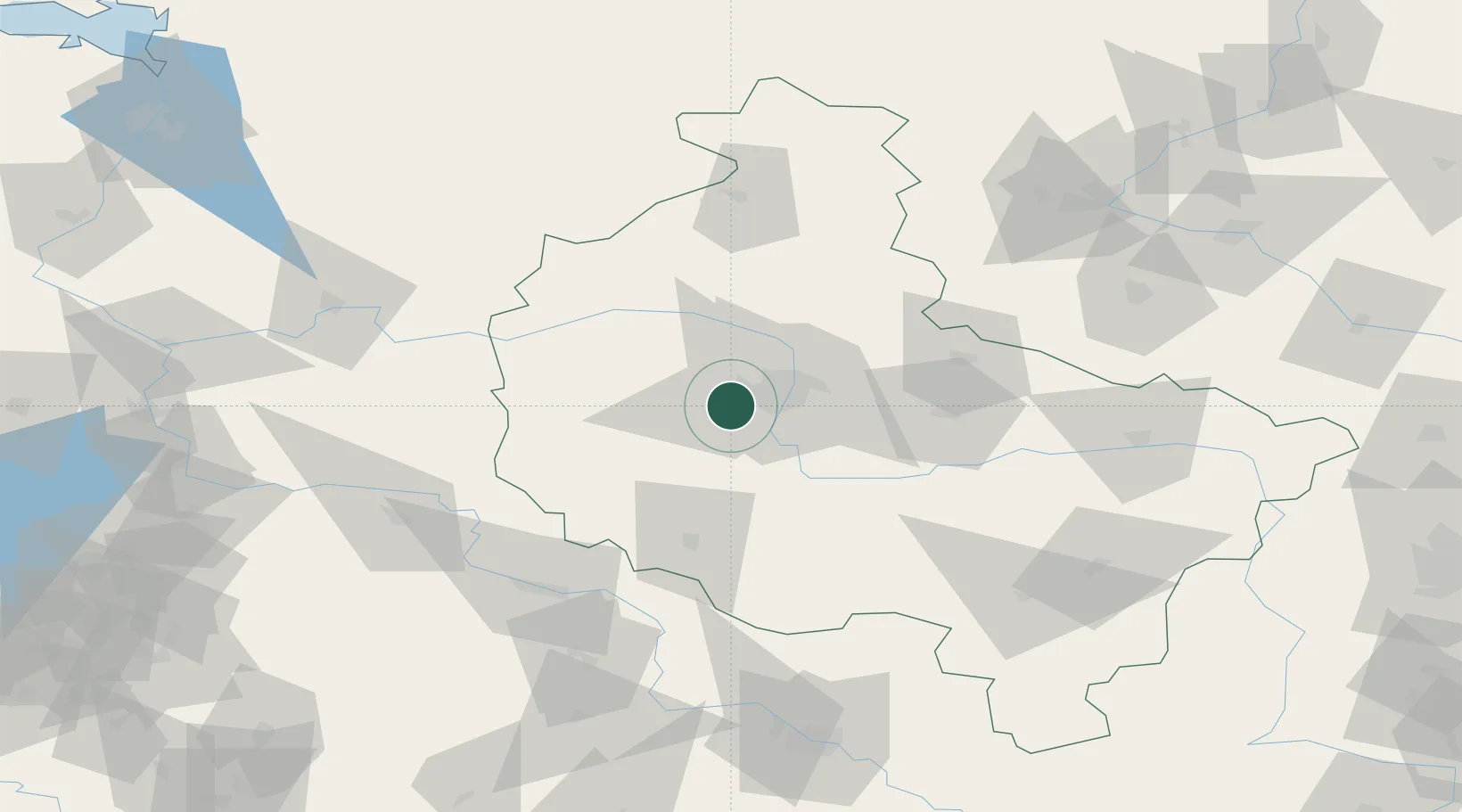
Hub Profile
Place type
Populated place
Region
Greater Poland
Time zone
Europe/Warsaw
Elevation
81 m
Location
Nearby Logistics Neighbours
Ports
- 1Szczecin187 km
- 2Police197 km
- 3Kolobrzeg220 km
- 4Darlowo231 km
- 5Swinoujscie238 km
Airports
Trade Zones
- 1Legnica SEZ (Legnicka SSE)133 km
- 2Kostrzyń-Słubice SEZ144 km
- 3Wałbrzych SEZ INVEST-PARK (Wałbrzyska SSE)174 km
- 4Kamienna Góra183 km
- 5Szczecin Duty Free Zone186 km
DatabookThe Record of Consolidated Knowledge
Poland beyond logistics?