UN/LOCODE hub · Poland
PLLBO

Lubon

52.3333°, 16.8833°
26,431
Population
3
Transport functions

Transport Functions

Rail
Road
Multimodal
UN/LOCODE

Hub Profile

Place type
District seat
GeoNames
Region
Greater Poland
GeoNames
Population
26,431
GeoNames
Time zone
Europe/Warsaw
GeoNames
Elevation
60 m
GeoNames

Location

Location of PLLBO
Natural Earth 10m (public domain) · Greater Poland · PLLBO · 52.33, 16.88GoogleOSMYandex

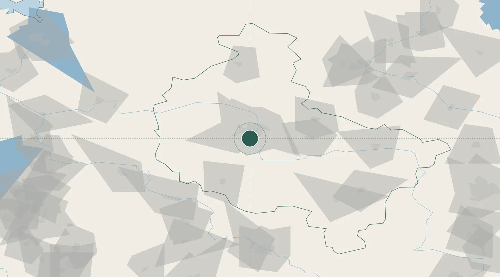
Nearby Logistics Neighbours

Cities
  1. 1Komorniki6 km
  2. 2Mosina10 km
  3. 3Paledzie11 km
  4. 4Robakowo14 km
  5. 5Kraplewo14 km
Nearest neighbours — logibook spatial index (haversine) over the source coordinates
Ports
  1. 1Szczecin198 km
  2. 2Police207 km
  3. 3Kolobrzeg227 km
  4. 4Darlowo236 km
  5. 5Swinoujscie248 km
Nearest neighbours — logibook spatial index (haversine) over the source coordinates
Airports
  1. 1Krzesiny Military Air Base6 km
  2. 2Poznań-Ławica Airport11 km
  3. 3Powidz Military Air Base66 km
  4. 4Zielona Góra-Babimost Airport77 km
  5. 5Inowroclaw Military Air Base112 km
Nearest neighbours — logibook spatial index (haversine) over the source coordinates
Trade Zones
  1. 1Legnica SEZ (Legnicka SSE)134 km
  2. 2Kostrzyń-Słubice SEZ155 km
  3. 3Wałbrzych SEZ INVEST-PARK (Wałbrzyska SSE)173 km
  4. 4Kamienna Góra182 km
  5. 5Łódź SEZ (ōódzka SSE)189 km
Nearest neighbours — logibook spatial index (haversine) over the source coordinates
DatabookThe Record of Consolidated Knowledge
Poland beyond logistics?
Browse databook

All Sources

LocationsUN/LOCODE
UN/LOCODE — free
LocationsGeoNames
CC BY 4.0
Portsthe NGA World Port Index
Public domain (US gov)
AirportsOurAirports
Public domain
Trade Zonesthe World Bank SEZ database
CC BY 4.0
Trade ZonesOpen Zone Map
CC BY
← Poland locations