Transport Functions
Rail
Road
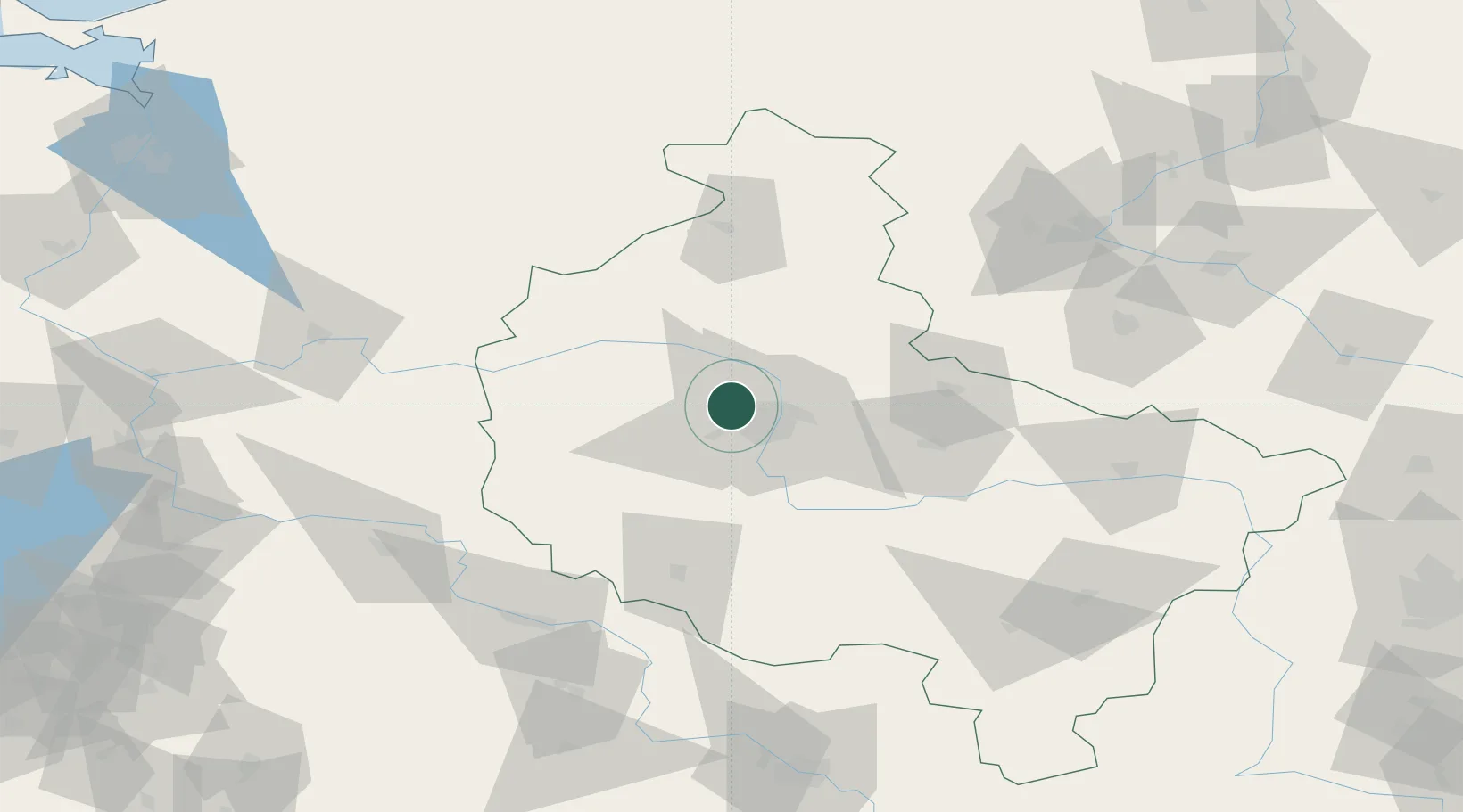
Hub Profile
Place type
Populated place
Region
Greater Poland
Time zone
Europe/Warsaw
Elevation
89 m
Location
Nearby Logistics Neighbours
Cities
- 1Rokietnica5 km
- 2Lulinek11 km
- 3Paledzie13 km
- 4Komorniki15 km
- 5Lubon18 km
Ports
- 1Szczecin182 km
- 2Police191 km
- 3Kolobrzeg209 km
- 4Darlowo218 km
- 5Swinoujscie231 km
Airports
Trade Zones
- 1Kostrzyń-Słubice SEZ146 km
- 2Legnica SEZ (Legnicka SSE)146 km
- 3Szczecin Duty Free Zone181 km
- 4Wałbrzych SEZ INVEST-PARK (Wałbrzyska SSE)188 km
- 5Kamienna Góra196 km
DatabookThe Record of Consolidated Knowledge
Poland beyond logistics?