Transport Functions
Port
Multimodal
Hub Profile
Place type
Populated place
Region
Greater Poland
Time zone
Europe/Warsaw
Elevation
74 m
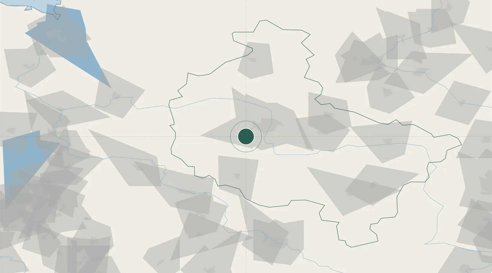
Location
Nearby Logistics Neighbours
Ports
- 1Szczecin190 km
- 2Police200 km
- 3Kolobrzeg226 km
- 4Darlowo238 km
- 5Swinoujscie242 km
Airports
Trade Zones
- 1Legnica SEZ (Legnicka SSE)125 km
- 2Kostrzyń-Słubice SEZ142 km
- 3Wałbrzych SEZ INVEST-PARK (Wałbrzyska SSE)167 km
- 4Kamienna Góra175 km
- 5Szczecin Duty Free Zone189 km
DatabookThe Record of Consolidated Knowledge
Poland beyond logistics?