Transport Functions
Rail
Road
Hub Profile
Region
PM
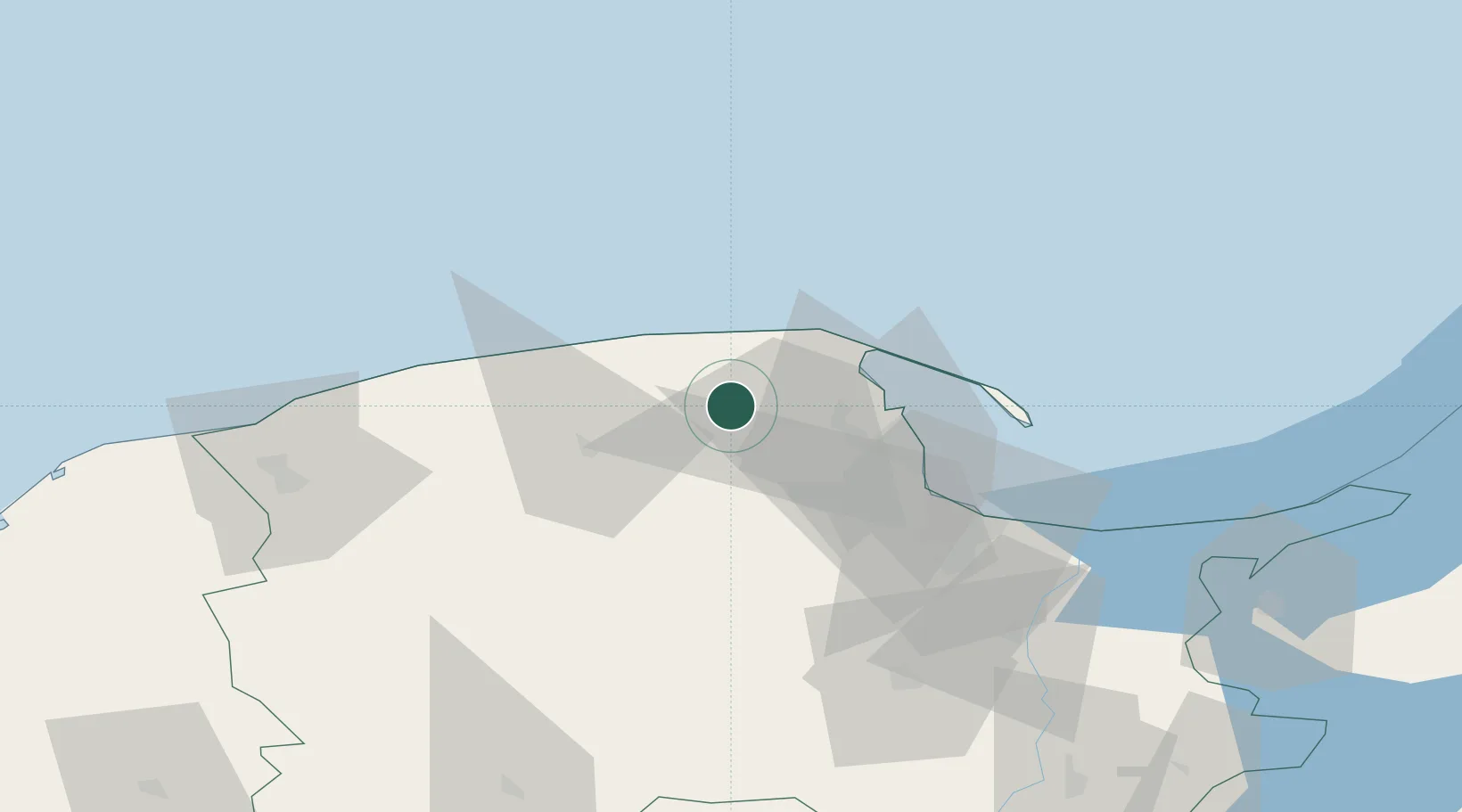
Location
Nearby Logistics Neighbours
Cities
- 1Orle5 km
- 2Luzino9 km
- 3Rumia21 km
- 4Wladyslawowo25 km
- 5Gdynia28 km
Airports
- 1Cewice Naval Air Base34 km
- 2Gdańsk Lech Wałęsa Airport38 km
- 3Malbork Królewo Air Base97 km
- 4Kaliningrad Chkalovsk Naval Air Base148 km
- 5Khrabrovo Airport162 km
Trade Zones
DatabookThe Record of Consolidated Knowledge
Poland beyond logistics?