Transport Functions
Rail
Road
Airport
Hub Profile
Place type
Populated place
Region
Kujawsko-Pomorskie
Population
1,400
Time zone
Europe/Warsaw
Elevation
81 m
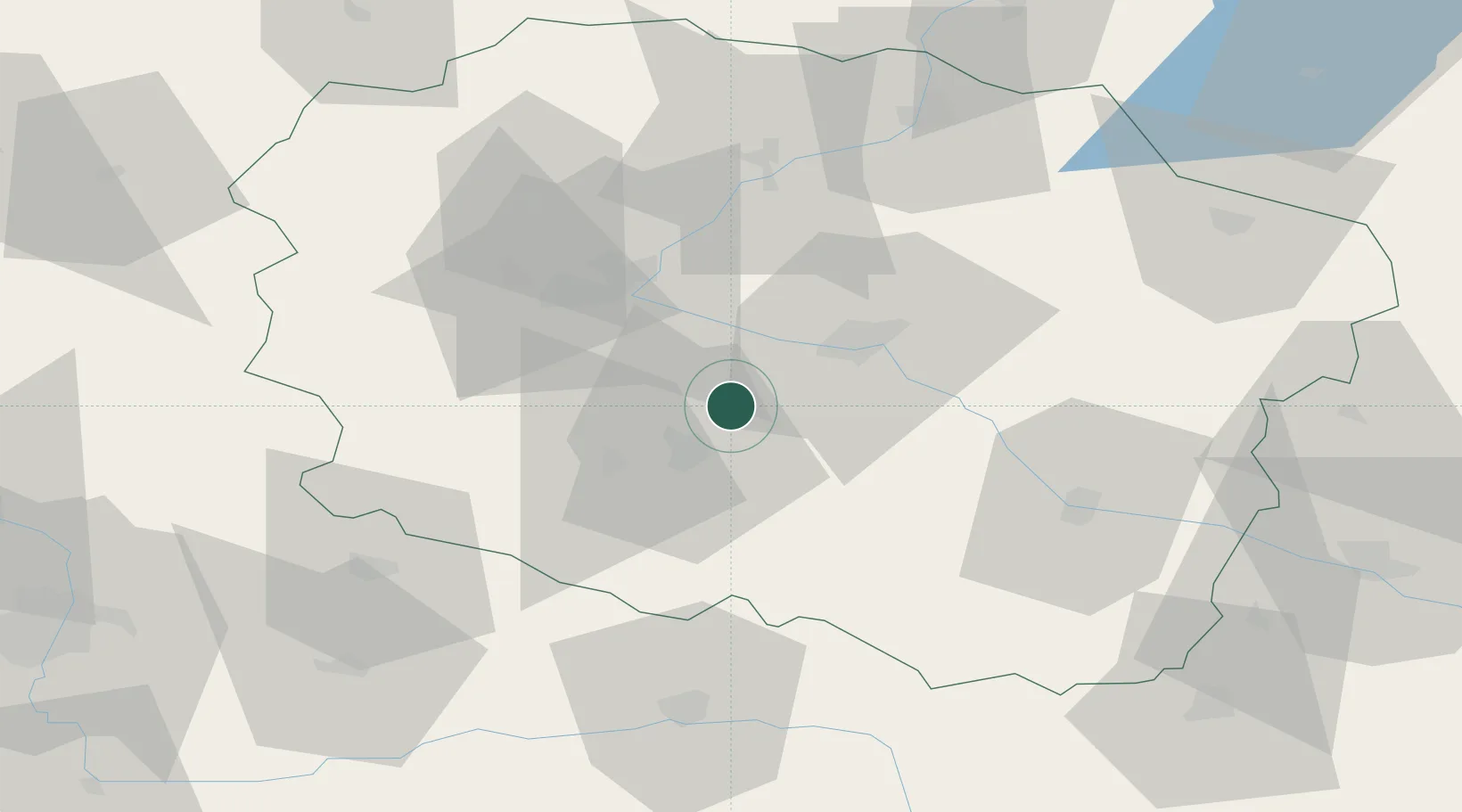
Location
Nearby Logistics Neighbours
Cities
- 1Cierpice14 km
- 2Nowa Wies Wielka20 km
- 3Kruszwica23 km
- 4Rzeczkowo28 km
- 5Lysomice29 km
Airports
Trade Zones
DatabookThe Record of Consolidated Knowledge
Poland beyond logistics?