Transport Functions
Multimodal
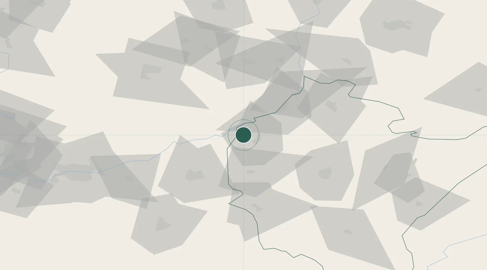
Hub Profile
Place type
Populated place
Region
Subcarpathia
Population
1,557
Time zone
Europe/Warsaw
Elevation
161 m
Location
Nearby Logistics Neighbours
Cities
- 1Tuszów Narodowy9 km
- 2Partynia16 km
- 3Skopanie21 km
- 4Staszów25 km
- 5Pustków26 km
Ports
- 1Gdansk481 km
- 2Baltiysk486 km
- 3Kaliningrad487 km
- 4Nowy Port487 km
- 5Gdynia502 km
Airports
- 1Rzeszów-Jasionka Airport55 km
- 2Kraków John Paul II International Airport115 km
- 3Warsaw Radom Airport116 km
- 4Lublin Airport138 km
- 5Deblin Military Air Base139 km
Trade Zones
DatabookThe Record of Consolidated Knowledge
Poland beyond logistics?