Transport Functions
Multimodal
Hub Profile
Place type
Populated place
Region
Greater Poland
Population
3,254
Time zone
Europe/Warsaw
Elevation
142 m
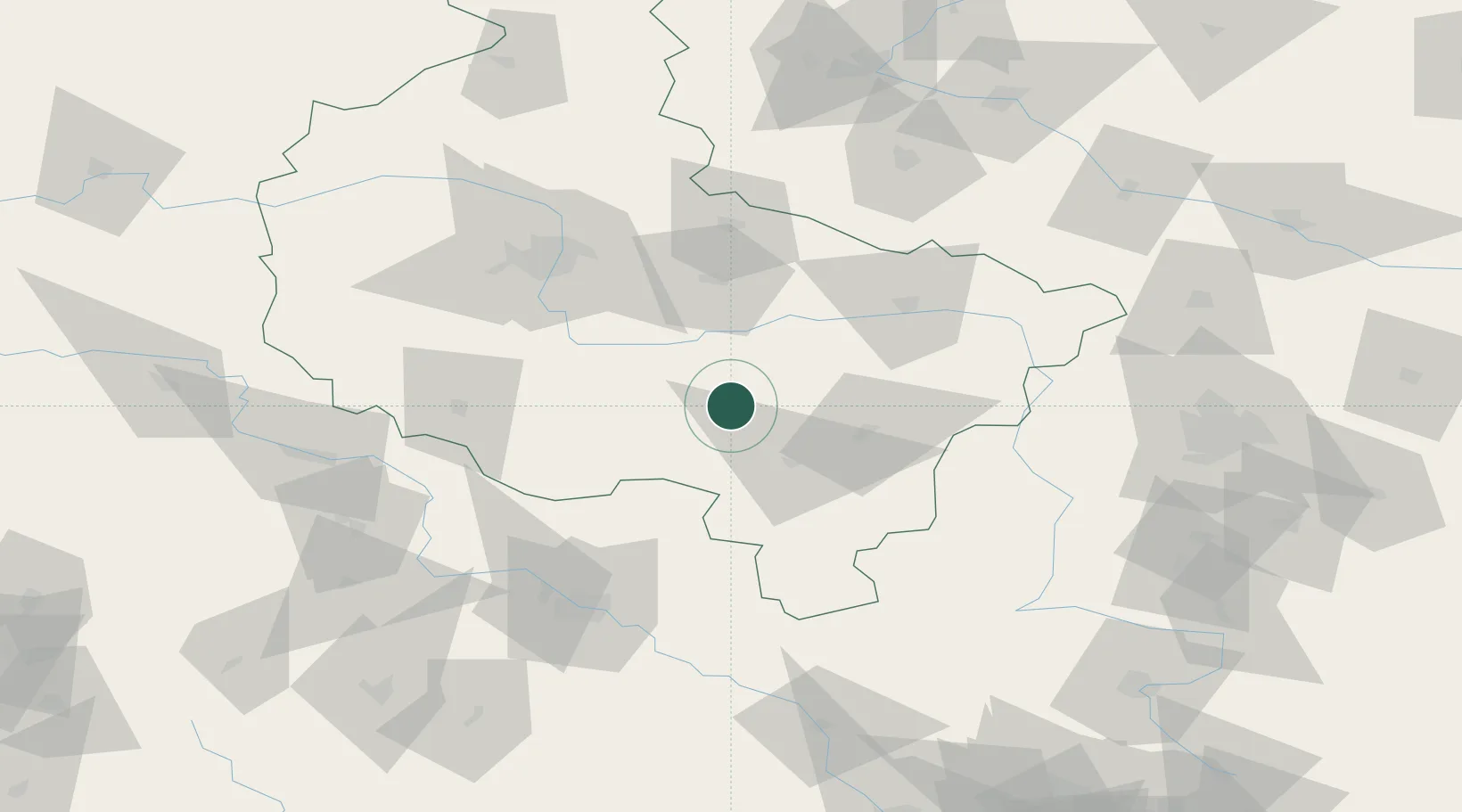
Location
Nearby Logistics Neighbours
Cities
- 1Trzemeszno9 km
- 2Kozmin, Krotoszyn12 km
- 3Kobierno19 km
- 4Krotoszyn22 km
- 5Borek Wielkopolski25 km
Airports
- 1Powidz Military Air Base60 km
- 2Krzesiny Military Air Base67 km
- 3Poznań-Ławica Airport81 km
- 4Copernicus Wrocław Airport98 km
- 5Leźnica Wielka Air Base107 km
Trade Zones
- 1Łódź SEZ (ōódzka SSE)130 km
- 2Legnica SEZ (Legnicka SSE)132 km
- 3Wałbrzych SEZ INVEST-PARK (Wałbrzyska SSE)147 km
- 4Kamienna Góra163 km
- 5Silesian Center for Logistics186 km
DatabookThe Record of Consolidated Knowledge
Poland beyond logistics?