Transport Functions
Rail
Road
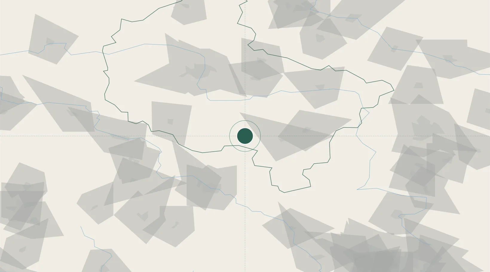
Hub Profile
Place type
District seat
Region
Greater Poland
Population
29,231
Time zone
Europe/Warsaw
Elevation
132 m
Location
Nearby Logistics Neighbours
Cities
- 1Kobierno5 km
- 2Kobylin13 km
- 3Trzemeszno13 km
- 4Kozmin, Krotoszyn13 km
- 5Dobrzyca22 km
Airports
Trade Zones
- 1Legnica SEZ (Legnicka SSE)113 km
- 2Wałbrzych SEZ INVEST-PARK (Wałbrzyska SSE)125 km
- 3Kamienna Góra141 km
- 4Łódź SEZ (ōódzka SSE)142 km
- 5Silesian Center for Logistics175 km
DatabookThe Record of Consolidated Knowledge
Poland beyond logistics?