Transport Functions
Rail
Road
Multimodal
Hub Profile
Region
WP
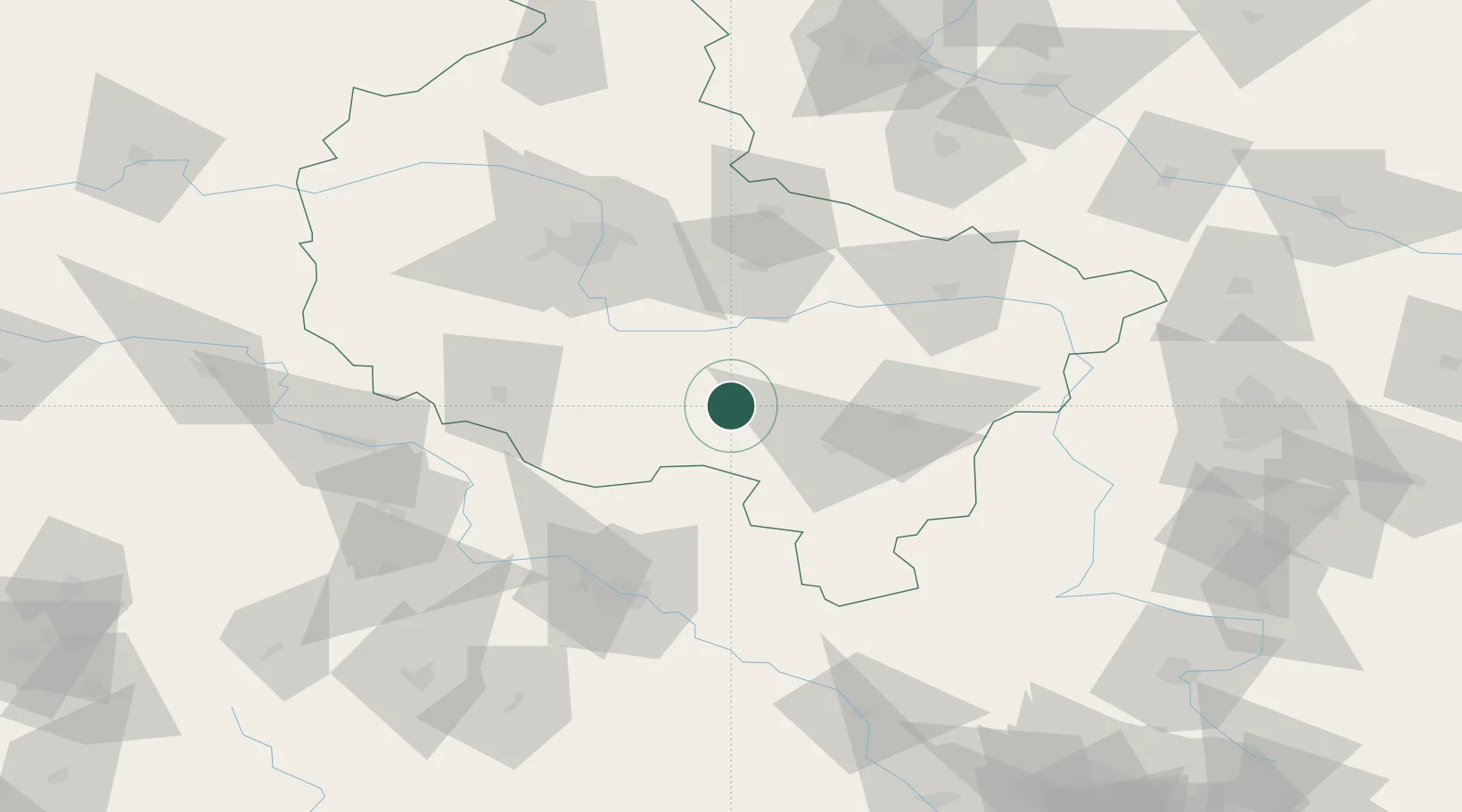
Location
Nearby Logistics Neighbours
Cities
- 1Trzemeszno5 km
- 2Kobierno11 km
- 3Dobrzyca12 km
- 4Krotoszyn13 km
- 5Borek Wielkopolski18 km
Airports
- 1Krzesiny Military Air Base66 km
- 2Powidz Military Air Base68 km
- 3Poznań-Ławica Airport80 km
- 4Copernicus Wrocław Airport89 km
- 5Leźnica Wielka Air Base118 km
Trade Zones
- 1Legnica SEZ (Legnicka SSE)121 km
- 2Wałbrzych SEZ INVEST-PARK (Wałbrzyska SSE)136 km
- 3Łódź SEZ (ōódzka SSE)140 km
- 4Kamienna Góra152 km
- 5Silesian Center for Logistics185 km
DatabookThe Record of Consolidated Knowledge
Poland beyond logistics?