Transport Functions
Multimodal
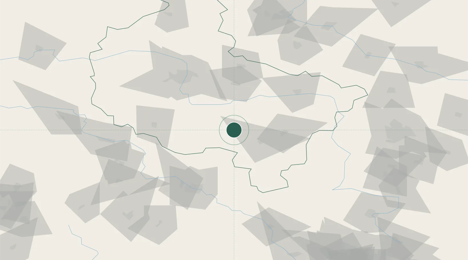
Hub Profile
Place type
Populated place
Region
Greater Poland
Population
282
Time zone
Europe/Warsaw
Elevation
140 m
Location
Nearby Logistics Neighbours
Cities
- 1Kozmin, Krotoszyn5 km
- 2Dobrzyca9 km
- 3Kobierno10 km
- 4Krotoszyn13 km
- 5Kobylin22 km
Airports
- 1Powidz Military Air Base69 km
- 2Krzesiny Military Air Base70 km
- 3Poznań-Ławica Airport84 km
- 4Copernicus Wrocław Airport89 km
- 5Leźnica Wielka Air Base114 km
Trade Zones
- 1Legnica SEZ (Legnicka SSE)124 km
- 2Łódź SEZ (ōódzka SSE)135 km
- 3Wałbrzych SEZ INVEST-PARK (Wałbrzyska SSE)138 km
- 4Kamienna Góra153 km
- 5Silesian Center for Logistics181 km
DatabookThe Record of Consolidated Knowledge
Poland beyond logistics?