Transport Functions
Multimodal
Hub Profile
Place type
District seat
Region
Greater Poland
Population
2,746
Time zone
Europe/Warsaw
Elevation
101 m
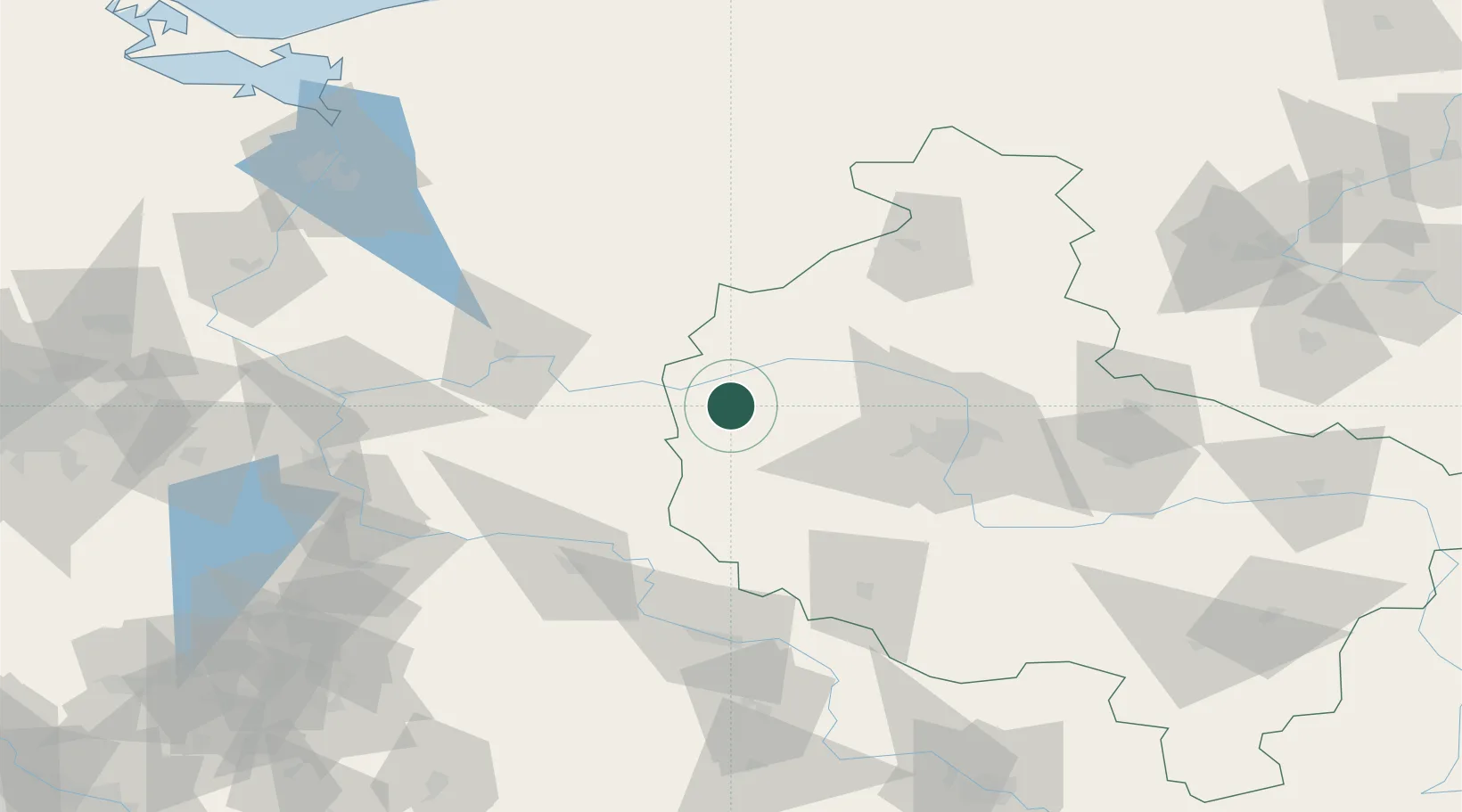
Location
Nearby Logistics Neighbours
Cities
- 1Lowyn13 km
- 2Pniewy13 km
- 3Miedzychód15 km
- 4Szamotuly35 km
- 5Obrzycko35 km
Ports
- 1Szczecin141 km
- 2Police152 km
- 3Kolobrzeg189 km
- 4Swinoujscie194 km
- 5Darlowo211 km
Airports
Trade Zones
DatabookThe Record of Consolidated Knowledge
Poland beyond logistics?