Transport Functions
Multimodal
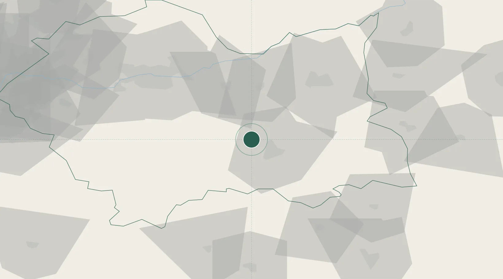
Hub Profile
Place type
Populated place
Region
Lesser Poland
Time zone
Europe/Warsaw
Elevation
350 m
Location
Nearby Logistics Neighbours
Ports
- 1Gdansk535 km
- 2Nowy Port542 km
- 3Baltiysk552 km
- 4Gdynia557 km
- 5Kaliningrad558 km
Airports
Trade Zones
DatabookThe Record of Consolidated Knowledge
Poland beyond logistics?