Transport Functions
Rail
Road
Hub Profile
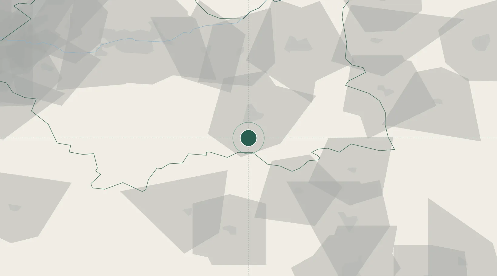
Place type
Populated place
Region
Lesser Poland
Population
3,700
Time zone
Europe/Warsaw
Elevation
377 m
Location
Nearby Logistics Neighbours
Ports
- 1Gdansk558 km
- 2Nowy Port565 km
- 3Baltiysk575 km
- 4Gdynia580 km
- 5Kaliningrad580 km
Airports
- 1Poprad-Tatry Airport55 km
- 2Kraków John Paul II International Airport92 km
- 3Košice International Airport100 km
- 4Rzeszów-Jasionka Airport120 km
- 5Sliač Airport146 km
Trade Zones
DatabookThe Record of Consolidated Knowledge
Poland beyond logistics?