UN/LOCODE hub · Poland
PLMKK

Bobowa

49.7000°, 20.9333°
3,018
Population
1
Transport functions

Transport Functions

Multimodal
UN/LOCODE

Hub Profile

Place type
Populated place
GeoNames
Region
Lesser Poland
GeoNames
Population
3,018
GeoNames
Time zone
Europe/Warsaw
GeoNames
Elevation
285 m
GeoNames

Location

Location of PLMKK
Natural Earth 10m (public domain) · Lesser Poland · PLMKK · 49.70, 20.93GoogleOSMYandex

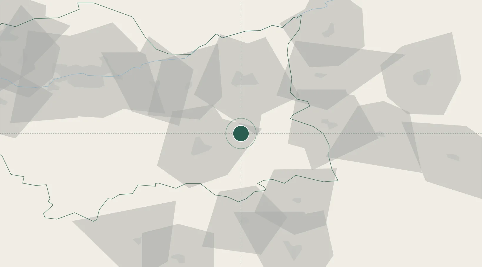
Nearby Logistics Neighbours

Cities
  1. 1Korzenna6 km
  2. 2Ciezkowice10 km
  3. 3Nowy Sacz17 km
  4. 4Labowa19 km
  5. 5Mecina26 km
Nearest neighbours — logibook spatial index (haversine) over the source coordinates
Ports
  1. 1Gdansk540 km
  2. 2Nowy Port547 km
  3. 3Baltiysk553 km
  4. 4Kaliningrad557 km
  5. 5Gdynia562 km
Nearest neighbours — logibook spatial index (haversine) over the source coordinates
Airports
  1. 1Poprad-Tatry Airport86 km
  2. 2Rzeszów-Jasionka Airport90 km
  3. 3Kraków John Paul II International Airport92 km
  4. 4Košice International Airport117 km
  5. 5Uzhhorod International Airport153 km
Nearest neighbours — logibook spatial index (haversine) over the source coordinates
Trade Zones
  1. 1Euro-Park Mielec78 km
  2. 2Kraków Technology Park83 km
  3. 3Tarnobrzeg SEZ Euro-Park Wisłosan (Tarnobrzeska SSE)108 km
  4. 4Starachowice SEZ (SSE Starachowice)149 km
  5. 5Transcarpathian Special Economic Zone (Zakarpattia)155 km
Nearest neighbours — logibook spatial index (haversine) over the source coordinates
DatabookThe Record of Consolidated Knowledge
Poland beyond logistics?
Browse databook

All Sources

LocationsUN/LOCODE
UN/LOCODE — free
LocationsGeoNames
CC BY 4.0
Portsthe NGA World Port Index
Public domain (US gov)
AirportsOurAirports
Public domain
Trade Zonesthe World Bank SEZ database
CC BY 4.0
Trade ZonesOpen Zone Map
CC BY
← Poland locations