UN/LOCODE hub · Poland
PLLUI

Lulinek

52.5667°, 16.7000°
2
Transport functions

Transport Functions

Rail
Road
UN/LOCODE

Hub Profile

Place type
Populated place
GeoNames
Region
Greater Poland
GeoNames
Time zone
Europe/Warsaw
GeoNames
Elevation
80 m
GeoNames

Location

Location of PLLUI
Natural Earth 10m (public domain) · Greater Poland · PLLUI · 52.57, 16.70GoogleOSMYandex

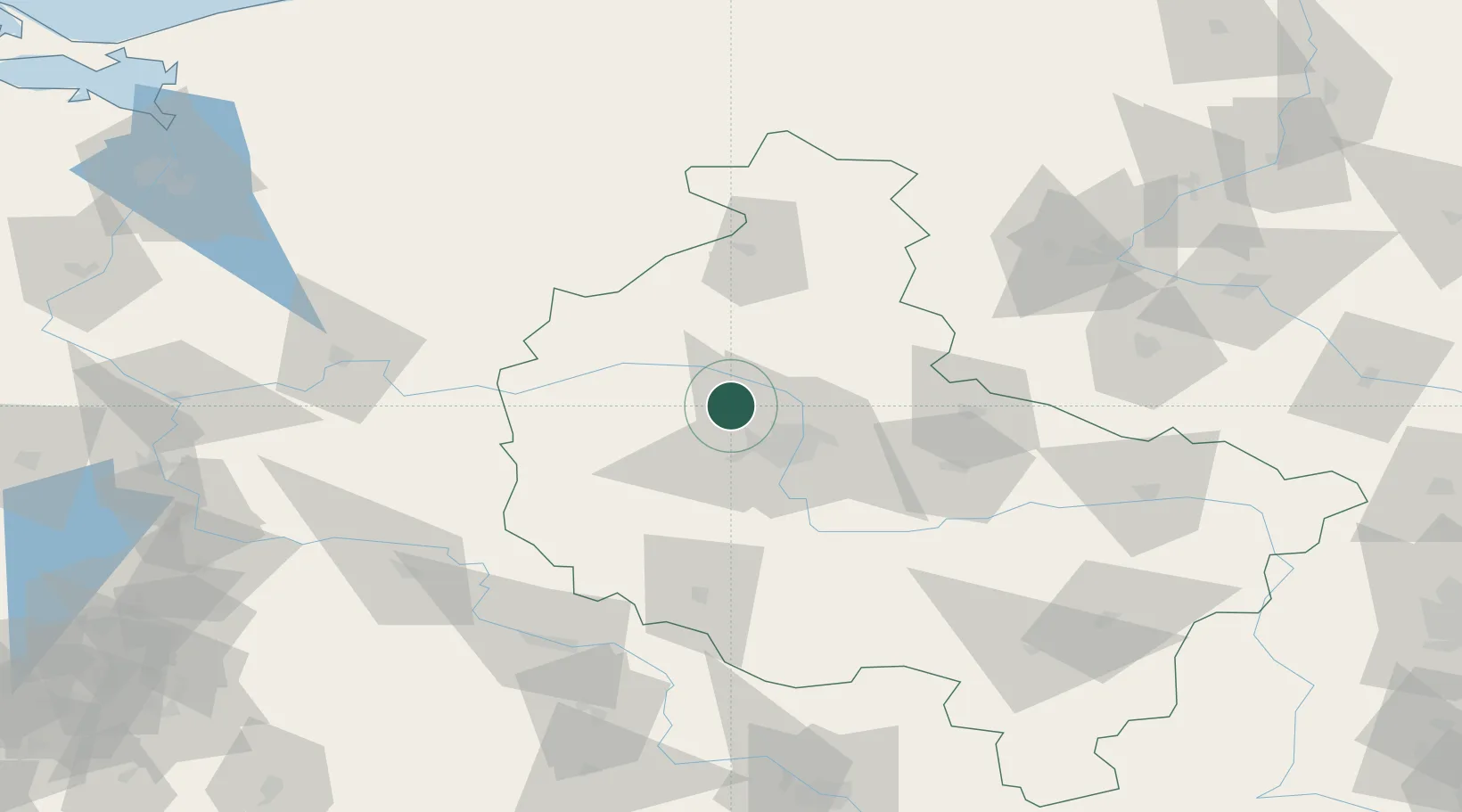
Nearby Logistics Neighbours

Cities
  1. 1Rokietnica6 km
  2. 2Szamotuly10 km
  3. 3Kiekrz11 km
  4. 4Obrzycko19 km
  5. 5Paledzie22 km
Nearest neighbours — logibook spatial index (haversine) over the source coordinates
Ports
  1. 1Szczecin172 km
  2. 2Police181 km
  3. 3Kolobrzeg199 km
  4. 4Darlowo208 km
  5. 5Swinoujscie221 km
Nearest neighbours — logibook spatial index (haversine) over the source coordinates
Airports
  1. 1Poznań-Ławica Airport18 km
  2. 2Krzesiny Military Air Base32 km
  3. 3Zielona Góra-Babimost Airport78 km
  4. 4Powidz Military Air Base81 km
  5. 5Miroslawiec Military Air Base101 km
Nearest neighbours — logibook spatial index (haversine) over the source coordinates
Trade Zones
  1. 1Kostrzyń-Słubice SEZ139 km
  2. 2Legnica SEZ (Legnicka SSE)152 km
  3. 3Szczecin Duty Free Zone171 km
  4. 4Wałbrzych SEZ INVEST-PARK (Wałbrzyska SSE)196 km
  5. 5Kamienna Góra204 km
Nearest neighbours — logibook spatial index (haversine) over the source coordinates
DatabookThe Record of Consolidated Knowledge
Poland beyond logistics?
Browse databook

All Sources

LocationsUN/LOCODE
UN/LOCODE — free
Portsthe NGA World Port Index
Public domain (US gov)
AirportsOurAirports
Public domain
Trade Zonesthe World Bank SEZ database
CC BY 4.0
Trade ZonesOpen Zone Map
CC BY
← Poland locations