About
Methodology
Sources
Licensing
English
EN
English
TR
Türkçe
DE
Deutsch
FR
Français
ES
Español
IT
Italiano
PT
Português
NL
Nederlands
PL
Polski
RU
Русский
UK
Українська
CS
Čeština
RO
Română
EL
Ελληνικά
BG
Български
AR
العربية
FA
فارسی
UR
اردو
HI
हिन्दी
BN
বাংলা
ID
Bahasa Indonesia
VI
Tiếng Việt
ZH
中文
JA
日本語
KO
한국어
logibook
/
Countries
/
Poland
/
Locations
/
Przyjazn
UN/LOCODE hub ·
Poland
PL
OYT
Przyjazn
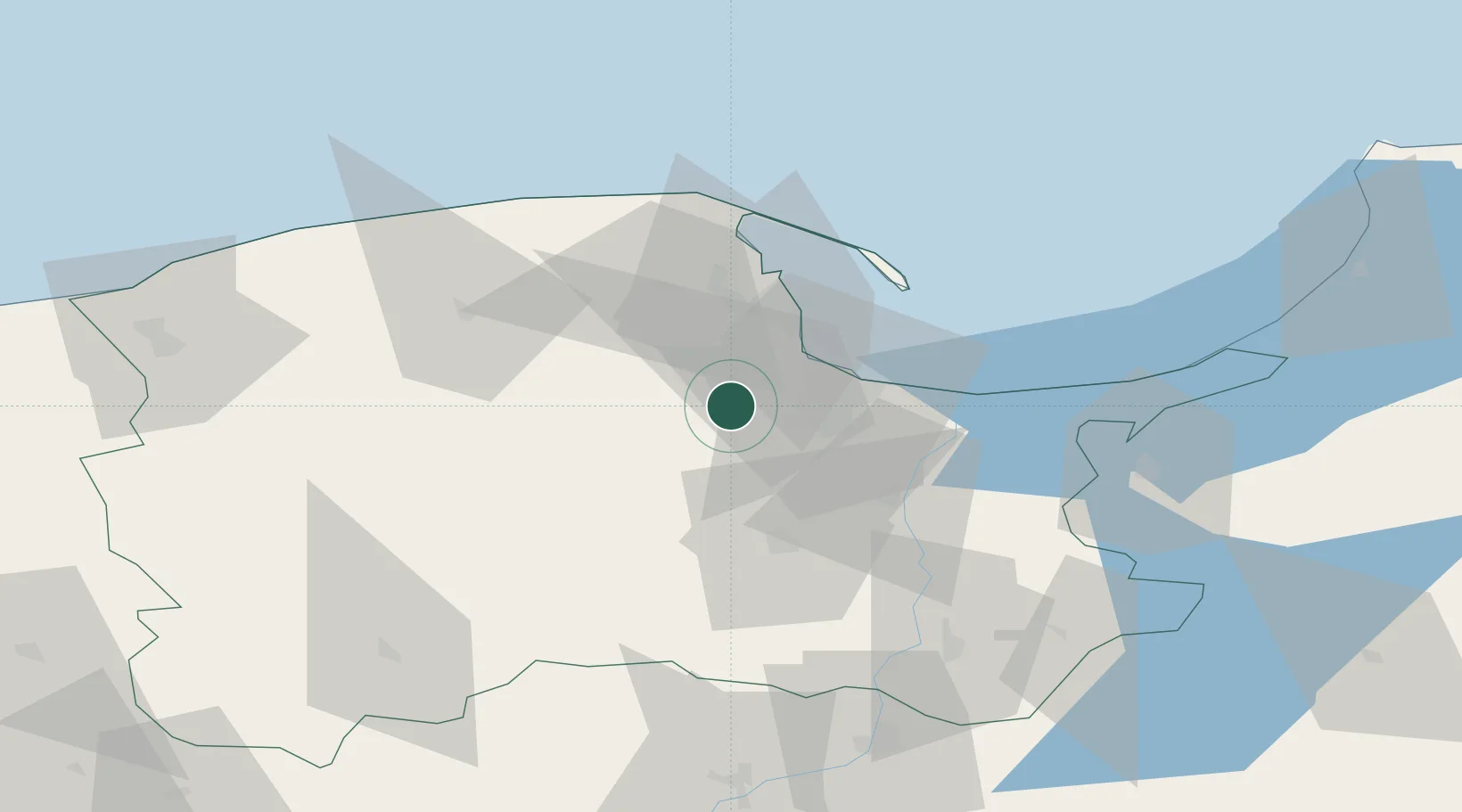
54.3167°, 18.4000°
2
Transport functions
Transport Functions
Road
Multimodal
UN/LOCODE
Hub Profile
Place type
Populated place
GeoNames
Region
Pomerania
GeoNames
Time zone
Europe/Warsaw
GeoNames
Elevation
152 m
GeoNames
Location
Natural Earth 10m (public domain) · Pomerania · PLOYT · 54.32, 18.40
Google ↗
OSM ↗
Yandex ↗
Nearby Logistics Neighbours
Cities
1
Zukowo
4 km
2
Kolbudy Dolne
8 km
3
Kielpino
11 km
4
Kartuzy
13 km
5
Sopot
18 km
Nearest neighbours — logibook spatial index (haversine) over the source coordinates
Ports
1
Gdansk
18 km
2
Nowy Port
21 km
3
Gdynia
26 km
4
Baltiysk
103 km
5
Ustka
105 km
Nearest neighbours — logibook spatial index (haversine) over the source coordinates
Airports
1
Gdańsk Lech Wałęsa Airport
8 km
2
Cewice Naval Air Base
43 km
3
Malbork Królewo Air Base
58 km
4
Kaliningrad Chkalovsk Naval Air Base
138 km
5
Ignacy Jan Paderewski Bydgoszcz Airport
139 km
Nearest neighbours — logibook spatial index (haversine) over the source coordinates
Trade Zones
1
Pomeranian SEZ (Pomorska SSE)
16 km
2
Gdansk Port Duty Free Zone
19 km
3
Słupsk SEZ (Słupska SSE)
90 km
4
Warmian-Masurian SEZ (Warmińsko-Mazurska SSE)
148 km
5
Klaipėda Free Economic Zone
212 km
Nearest neighbours — logibook spatial index (haversine) over the source coordinates
Data
book
The Record of Consolidated Knowledge
Poland beyond logistics?
Browse databook
→
All Sources
Locations
UN/LOCODE
UN/LOCODE — free
↗
Ports
the NGA World Port Index
Public domain (US gov)
↗
Airports
OurAirports
Public domain
↗
Trade Zones
the World Bank SEZ database
CC BY 4.0
↗
Trade Zones
Open Zone Map
CC BY
↗
← Poland locations