UN/LOCODE hub · Poland
PLGKZ

Górki Zachodnie

54.3667°, 18.7667°
1
Transport functions

Transport Functions

Port
UN/LOCODE

Hub Profile

Place type
Populated place
GeoNames
Region
Pomerania
GeoNames
Time zone
Europe/Warsaw
GeoNames
Elevation
1 m
GeoNames

Location

Location of PLGKZ
Natural Earth 10m (public domain) · Pomerania · PLGKZ · 54.37, 18.77GoogleOSMYandex

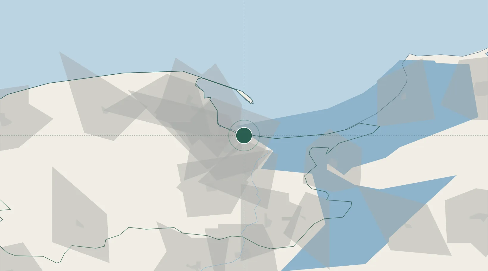
Nearby Logistics Neighbours

Cities
  1. 1Gdansk7 km
  2. 2Nowy Port/Gdansk8 km
  3. 3Sopot16 km
  4. 4Legowo18 km
  5. 5Kolbudy Dolne22 km
Nearest neighbours — logibook spatial index (haversine) over the source coordinates
Ports
  1. 1Gdansk7 km
  2. 2Nowy Port9 km
  3. 3Gdynia23 km
  4. 4Baltiysk79 km
  5. 5Kaliningrad117 km
Nearest neighbours — logibook spatial index (haversine) over the source coordinates
Airports
  1. 1Gdańsk Lech Wałęsa Airport20 km
  2. 2Malbork Królewo Air Base45 km
  3. 3Cewice Naval Air Base65 km
  4. 4Kaliningrad Chkalovsk Naval Air Base114 km
  5. 5Khrabrovo Airport132 km
Nearest neighbours — logibook spatial index (haversine) over the source coordinates
Trade Zones
  1. 1Gdansk Port Duty Free Zone9 km
  2. 2Pomeranian SEZ (Pomorska SSE)41 km
  3. 3Słupsk SEZ (Słupska SSE)113 km
  4. 4Warmian-Masurian SEZ (Warmińsko-Mazurska SSE)130 km
  5. 5Klaipėda Free Economic Zone190 km
Nearest neighbours — logibook spatial index (haversine) over the source coordinates
DatabookThe Record of Consolidated Knowledge
Poland beyond logistics?
Browse databook

All Sources

LocationsUN/LOCODE
UN/LOCODE — free
Portsthe NGA World Port Index
Public domain (US gov)
AirportsOurAirports
Public domain
Trade Zonesthe World Bank SEZ database
CC BY 4.0
Trade ZonesOpen Zone Map
CC BY
← Poland locations