Transport Functions
Rail
Road
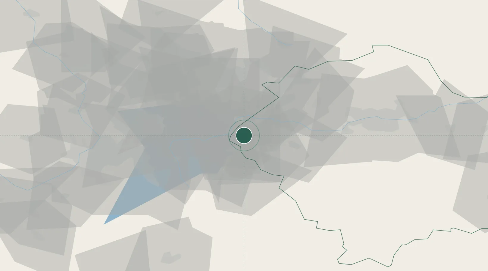
Hub Profile
Place type
Populated place
Region
Lesser Poland
Time zone
Europe/Warsaw
Elevation
258 m
Location
Nearby Logistics Neighbours
Cities
- 1Wilamowice4 km
- 2Oswiecim10 km
- 3Gorzow13 km
- 4Bojszowy15 km
- 5Bierun Stary18 km
Airports
Trade Zones
DatabookThe Record of Consolidated Knowledge
Poland beyond logistics?