Transport Functions
Rail
Road
Airport
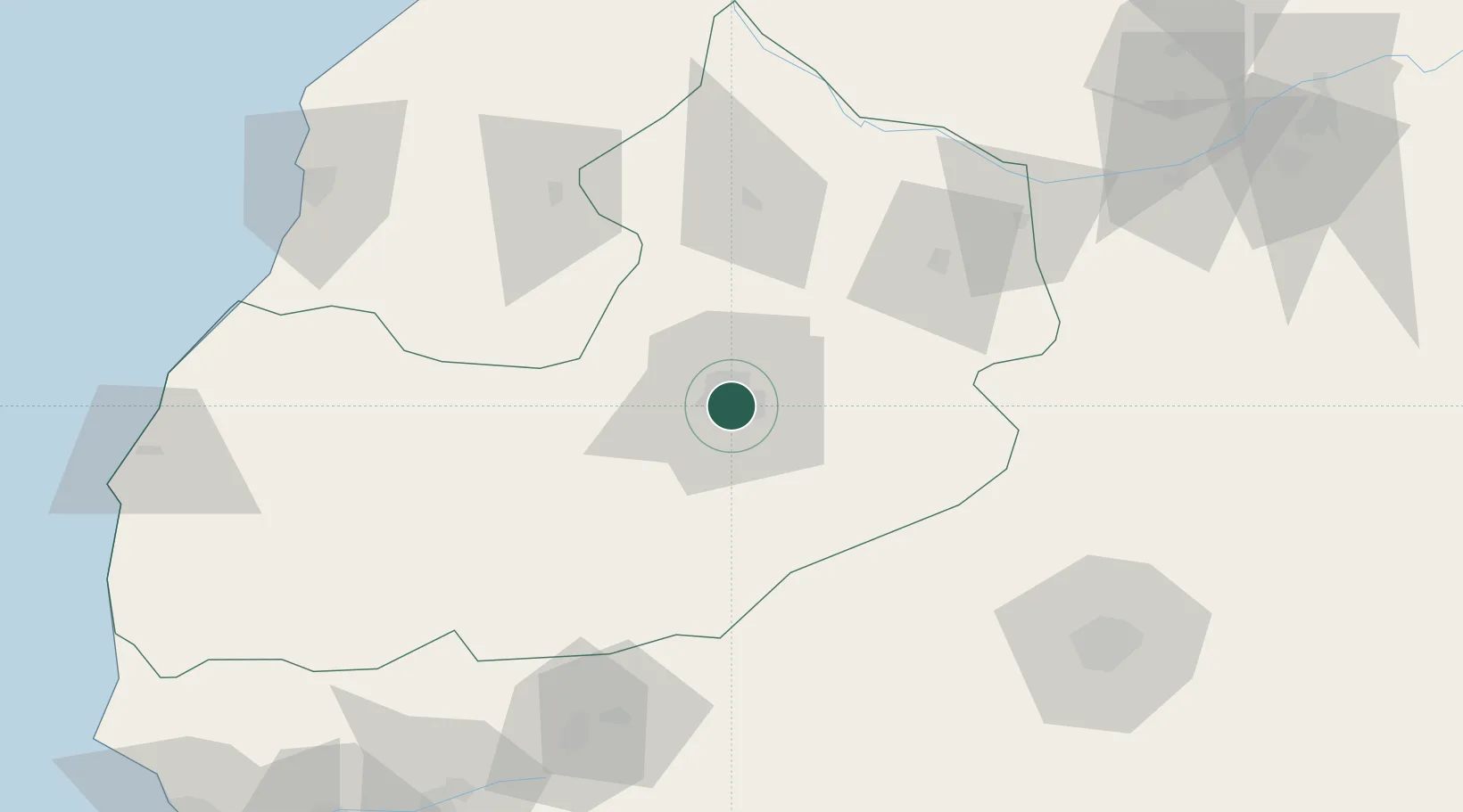
Location
Nearby Logistics Neighbours
Cities
- 1Imintanoute96 km
- 2Sidi Bennour120 km
- 3Nouveau Port Safi, Sidi Boudenyan134 km
- 4Essaouira144 km
- 5Taroudant154 km
Ports
- 1Safi139 km
- 2Essaouira170 km
- 3El Jorf Lasfar175 km
- 4El Jadida186 km
- 5Agadir205 km
Airports
- 1Marrakesh Menara Airport5 km
- 2Ouarzazate International Airport129 km
- 3Essaouira-Mogador Airport162 km
- 4Beni Mellal Airport180 km
- 5Mohammed V International Airport197 km
Trade Zones
DatabookThe Record of Consolidated Knowledge
Morocco beyond logistics?