Transport Functions
Road
Multimodal
Hub Profile
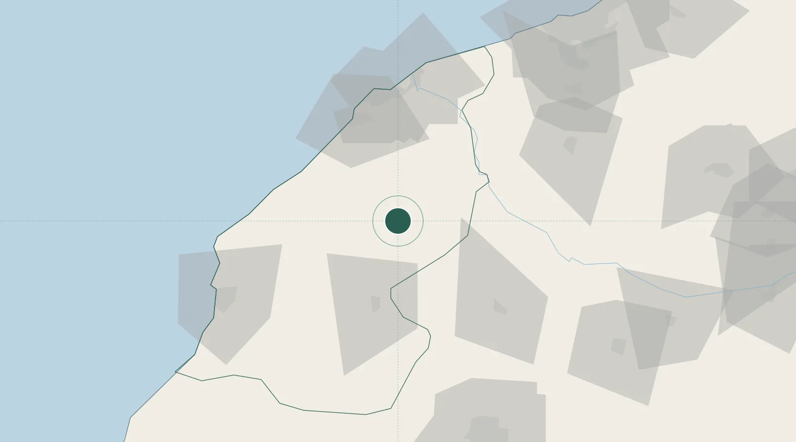
Place type
District seat
Region
Casablanca-Settat
Population
60,948
Time zone
Africa/Casablanca
Elevation
182 m
Location
Nearby Logistics Neighbours
Cities
- 1El Jadida67 km
- 2Souk Et Tnine Des Chtouka76 km
- 3Nouveau Port Safi, Sidi Boudenyan96 km
- 4Bouskoura114 km
- 5Marrakech120 km
Ports
- 1El Jorf Lasfar55 km
- 2El Jadida67 km
- 3Safi87 km
- 4Casablanca129 km
- 5Mohammedia152 km
Airports
- 1Mohammed V International Airport111 km
- 2Marrakesh Menara Airport122 km
- 3Essaouira-Mogador Airport183 km
- 4Beni Mellal Airport199 km
- 5Rabat-Salé Airport220 km
Trade Zones
DatabookThe Record of Consolidated Knowledge
Morocco beyond logistics?