UN/LOCODE hub · Japan
JPARJ

Asakura, Fukuoka

33.4167°, 130.6667°
1
Transport functions

Transport Functions

Multimodal
UN/LOCODE

Hub Profile

Region
40
GeoNames

Location

Location of JPARJ
Natural Earth 10m (public domain) · 40 · JPARJ · 33.42, 130.67GoogleOSMYandex

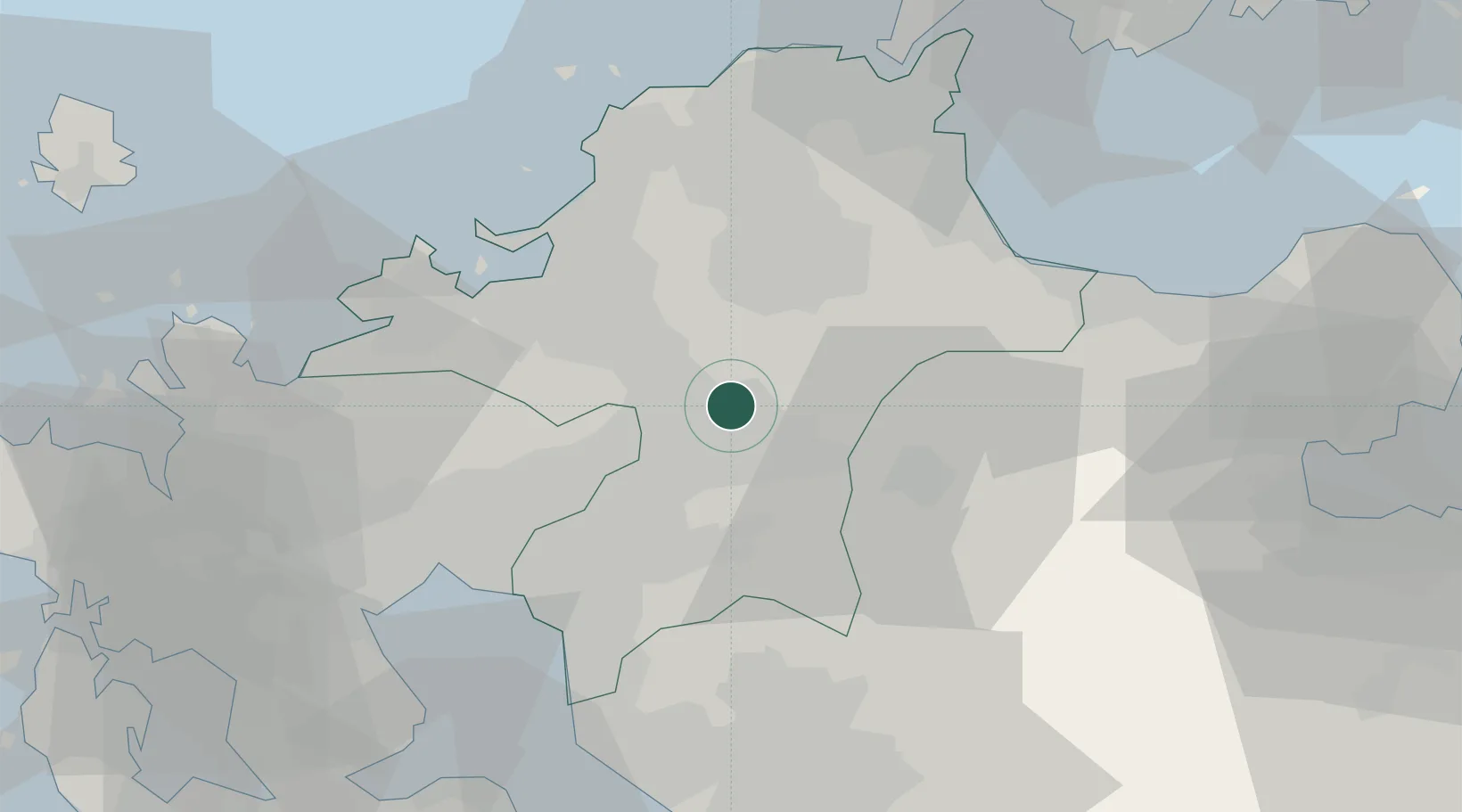
Nearby Logistics Neighbours

Cities
  1. 1Tachiarai, Fukuoka5 km
  2. 2Chikuzen, Fukuoka7 km
  3. 3Tosu15 km
  4. 4Kama17 km
  5. 5Fukuoka18 km
Nearest neighbours — logibook spatial index (haversine) over the source coordinates
Ports
  1. 1Hakata32 km
  2. 2Miike Ko52 km
  3. 3Yahata52 km
  4. 4Kanda52 km
  5. 5Wakamatsu Ko56 km
Nearest neighbours — logibook spatial index (haversine) over the source coordinates
Airports
  1. 1Fukuoka Airport28 km
  2. 2Kyushu Saga International Airport45 km
  3. 3JASDF Tsuiki Air Base46 km
  4. 4JASDF Ashiya Air Base52 km
  5. 5Kitakyushu Airport59 km
Nearest neighbours — logibook spatial index (haversine) over the source coordinates
DatabookThe Record of Consolidated Knowledge
Japan beyond logistics?
Browse databook

All Sources

LocationsUN/LOCODE
UN/LOCODE — free
Portsthe NGA World Port Index
Public domain (US gov)
AirportsOurAirports
Public domain
Trade Zonesthe World Bank SEZ database
CC BY 4.0
Trade ZonesOpen Zone Map
CC BY
← Japan locations