Transport Functions
Rail
Road
Multimodal
Hub Profile
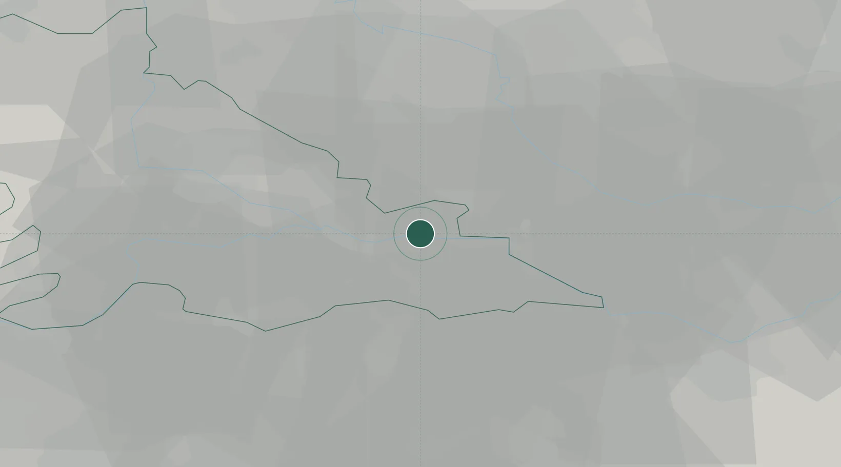
Place type
District seat
Region
Lombardy
Population
5,648
Time zone
Europe/Rome
Elevation
13 m
Location
Nearby Logistics Neighbours
Cities
- 1Carbonara di Po8 km
- 2Magnacavallo8 km
- 3Bergantino9 km
- 4Moglia12 km
- 5Castelnovo Bariano13 km
Ports
- 1Porto Di Chioggia93 km
- 2Porto Garibaldi98 km
- 3Porto Di Lido-Venezia109 km
- 4Porto Di Corsini111 km
- 5Cesenatico139 km
Airports
Trade Zones
DatabookThe Record of Consolidated Knowledge
Italy beyond logistics?