Transport Functions
Multimodal
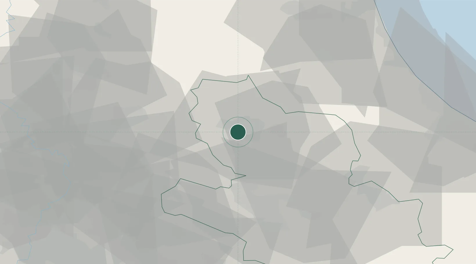
Hub Profile
Place type
Populated place
Region
Abruzzo
Population
2,903
Time zone
Europe/Rome
Elevation
650 m
Location
Nearby Logistics Neighbours
Cities
- 1Scoppito7 km
- 2Santa Rufina33 km
- 3Vazia34 km
- 4Castelfranco35 km
- 5Carsoli36 km
Ports
- 1Giulianova68 km
- 2Pescara75 km
- 3San Benedetto Del Tronto80 km
- 4Ortona89 km
- 5Civitanova Marche111 km
Airports
- 1Guidonia Air Base64 km
- 2Abruzzo Airport70 km
- 3Rome Urbe Airport83 km
- 4Ciampino–G. B. Pastine International Airport88 km
- 5Latina Air Base98 km
DatabookThe Record of Consolidated Knowledge
Italy beyond logistics?