Transport Functions
Multimodal
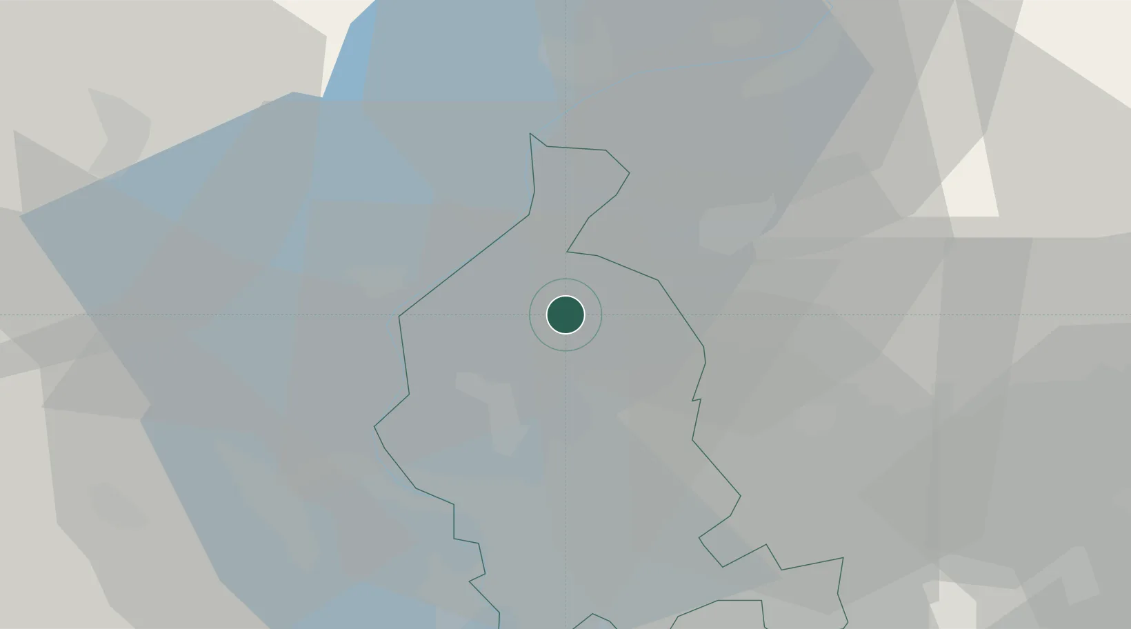
Hub Profile
Place type
District seat
Region
Lombardy
Population
548
Time zone
Europe/Rome
Elevation
296 m
Location
Nearby Logistics Neighbours
Cities
- 1Grantola4 km
- 2Ponte Tresa7 km
- 3Induno Olona9 km
- 4Agno10 km
- 5Caravate11 km
Ports
- 1Genova169 km
- 2Savona179 km
- 3Chiavari - Lavagna185 km
- 4Rada Di Vado185 km
- 5La Spezia219 km
Airports
- 1Lugano Airport15 km
- 2Varese-Venegono Airport22 km
- 3Milan Malpensa International Airport32 km
- 4Cameri Air Base44 km
- 5Milano Linate Airport66 km
Trade Zones
- 1Magazzini Generali Con Chiasso16 km
- 2Livigno Free Trade Zone123 km
- 3Aosta Valley153 km
- 4Port Franc Vevey180 km
- 5PESA - Port-Franc et Entrepôts de Lausanne-Chavornay SA191 km
DatabookThe Record of Consolidated Knowledge
Italy beyond logistics?