Transport Functions
Rail
Road
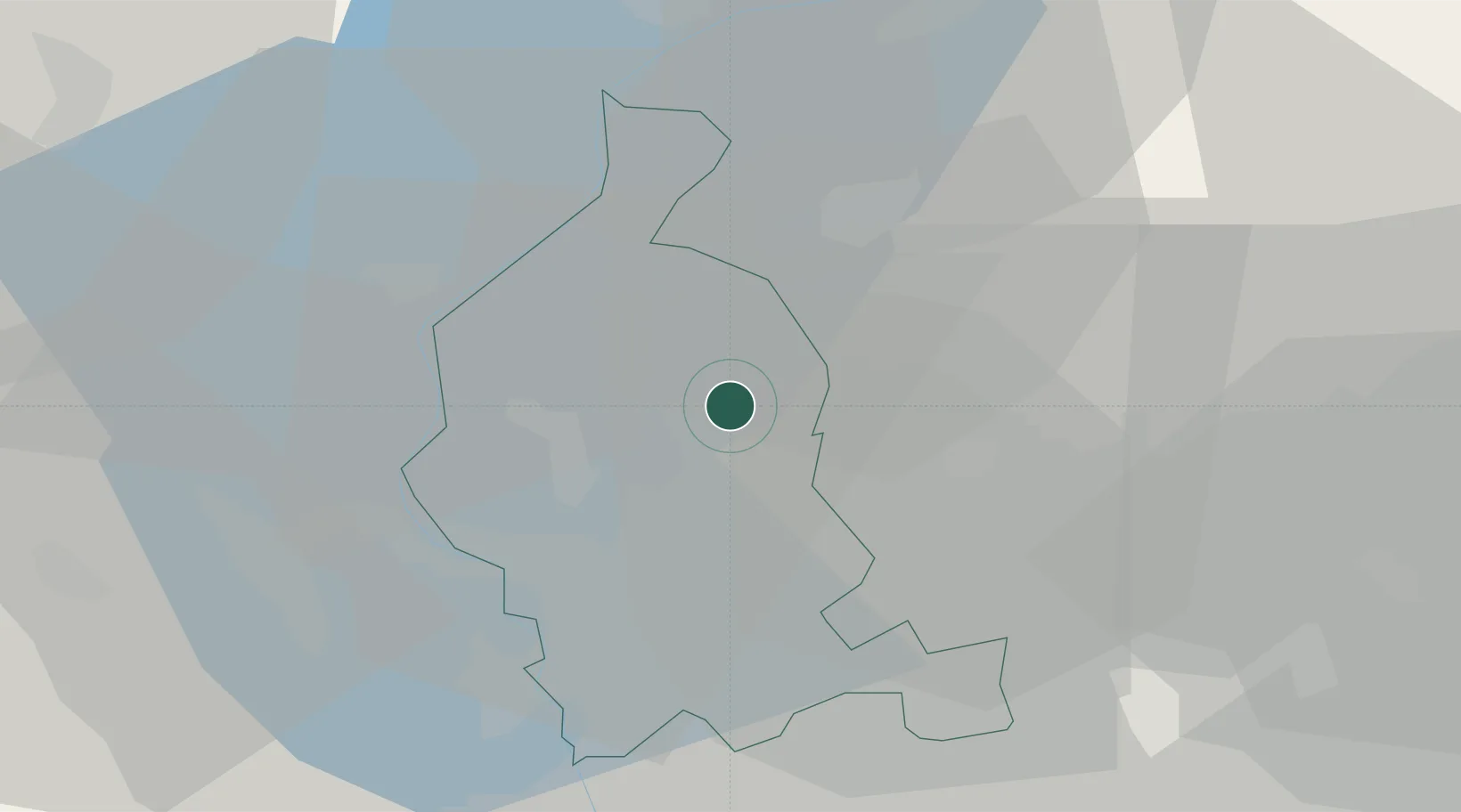
Hub Profile
Place type
District seat
Region
Lombardy
Population
10,258
Time zone
Europe/Rome
Elevation
394 m
Location
Nearby Logistics Neighbours
Cities
- 1Masnago5 km
- 2Azzate8 km
- 3Buguggiate8 km
- 4Bizzarone8 km
- 5Cagno9 km
Ports
- 1Genova162 km
- 2Savona173 km
- 3Chiavari - Lavagna176 km
- 4Rada Di Vado179 km
- 5La Spezia210 km
Airports
- 1Varese-Venegono Airport13 km
- 2Lugano Airport18 km
- 3Milan Malpensa International Airport26 km
- 4Cameri Air Base38 km
- 5Milano Linate Airport57 km
Trade Zones
DatabookThe Record of Consolidated Knowledge
Italy beyond logistics?