Transport Functions
Rail
Road
Border Crossing
Hub Profile
Region
VA
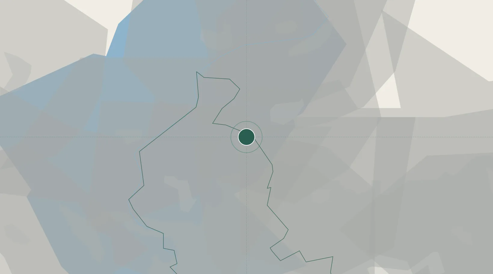
Location
Nearby Logistics Neighbours
Cities
- 1Agno4 km
- 2Grantola6 km
- 3Rancio Valcuvia7 km
- 4Bedano8 km
- 5Paradiso9 km
Ports
- 1Genova173 km
- 2Savona184 km
- 3Chiavari - Lavagna187 km
- 4Rada Di Vado190 km
- 5La Spezia220 km
Airports
- 1Lugano Airport8 km
- 2Varese-Venegono Airport23 km
- 3Milan Malpensa International Airport37 km
- 4Cameri Air Base49 km
- 5Milano Linate Airport65 km
Trade Zones
- 1Magazzini Generali Con Chiasso14 km
- 2Livigno Free Trade Zone116 km
- 3Aosta Valley160 km
- 4Port Franc Vevey185 km
- 5PESA - Port-Franc et Entrepôts de Lausanne-Chavornay SA195 km
DatabookThe Record of Consolidated Knowledge
Italy beyond logistics?