Transport Functions
Rail
Road
Hub Profile
Place type
District seat
Region
Basilicate
Population
8,718
Time zone
Europe/Rome
Elevation
497 m
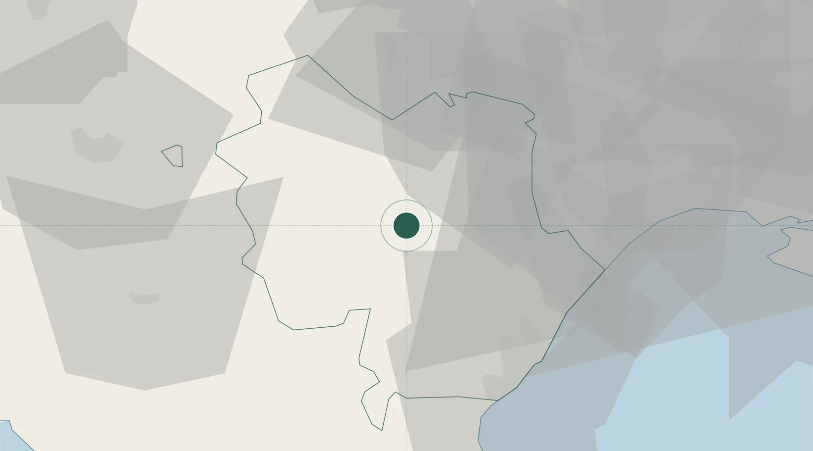
Location
Nearby Logistics Neighbours
Cities
- 1Salandra12 km
- 2Pisticci14 km
- 3Montalbano Jonico24 km
- 4Policoro36 km
- 5Roccanova36 km
Ports
- 1Taranto64 km
- 2Bari81 km
- 3Molfetta83 km
- 4Mola Di Bari85 km
- 5Bisceglie85 km
Airports
DatabookThe Record of Consolidated Knowledge
Italy beyond logistics?