Transport Functions
Multimodal
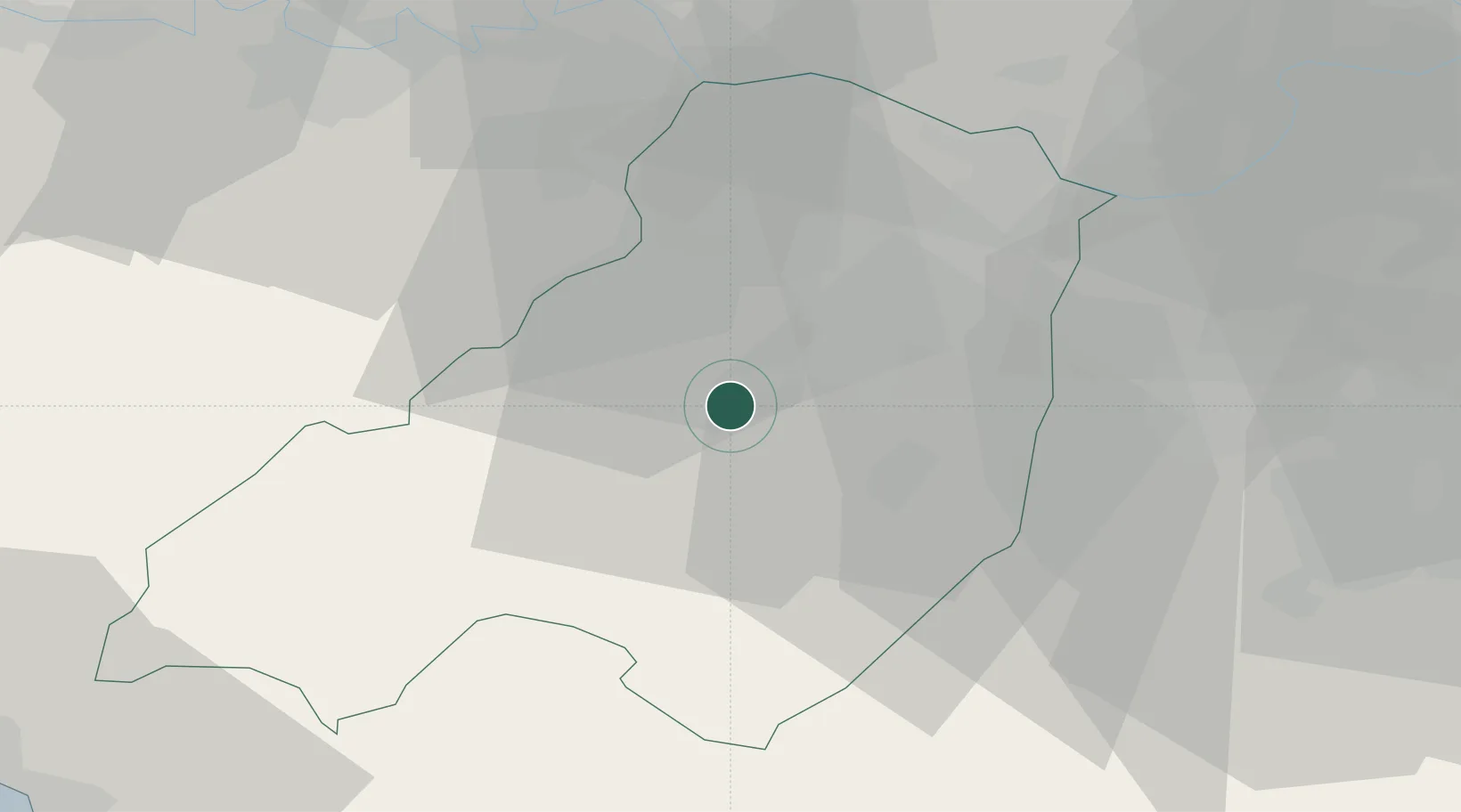
Hub Profile
Place type
District seat
Region
Emilia-Romagna
Population
3,029
Time zone
Europe/Rome
Elevation
158 m
Location
Nearby Logistics Neighbours
Ports
- 1La Spezia70 km
- 2Marina Di Carrara75 km
- 3Chiavari - Lavagna76 km
- 4Viareggio94 km
- 5Genova99 km
Airports
- 1Parma Airport21 km
- 2Piacenza San Damiano Air Base38 km
- 3Sarzana-Luni Air Base69 km
- 4Ghedi Air Base83 km
- 5Brescia Gabriele d'Annunzio Airport83 km
Trade Zones
- 1Magazzini Generali Con Chiasso156 km
- 2Consorzio Zona Industriale e Porto Fluviale di Padova163 km
- 3Free Port of Venice192 km
- 4Livigno Free Trade Zone204 km
- 5ZFU LAriane248 km
DatabookThe Record of Consolidated Knowledge
Italy beyond logistics?