Transport Functions
Multimodal
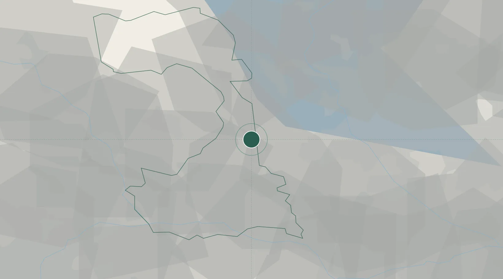
Hub Profile
Place type
District seat
Region
Piedmont
Population
830
Time zone
Europe/Rome
Elevation
185 m
Location
Nearby Logistics Neighbours
Cities
- 1San Giacomo Vercellese5 km
- 2Rovasenda6 km
- 3Formigliana11 km
- 4Gattinara13 km
- 5Roasio14 km
Ports
- 1Genova130 km
- 2Savona132 km
- 3Rada Di Vado137 km
- 4Chiavari - Lavagna152 km
- 5Imperia182 km
Airports
- 1Biella-Cerrione Airfield22 km
- 2Cameri Air Base23 km
- 3Milan Malpensa International Airport31 km
- 4Varese-Venegono Airport48 km
- 5Turin Airport66 km
Trade Zones
- 1Magazzini Generali Con Chiasso58 km
- 2Aosta Valley125 km
- 3Livigno Free Trade Zone175 km
- 4Port Franc Vevey177 km
- 5Geneva Freeport, La Praille, Geneva191 km
DatabookThe Record of Consolidated Knowledge
Italy beyond logistics?