Transport Functions
Rail
Road
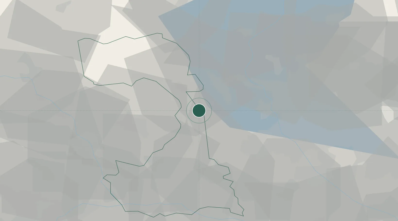
Hub Profile
Place type
District seat
Region
Piedmont
Population
8,001
Time zone
Europe/Rome
Elevation
263 m
Location
Nearby Logistics Neighbours
Cities
- 1Romagnano Sesia4 km
- 2Roasio7 km
- 3Serravalle Sesia8 km
- 4Brusnengo9 km
- 5Rovasenda10 km
Ports
- 1Genova142 km
- 2Savona145 km
- 3Rada Di Vado151 km
- 4Chiavari - Lavagna164 km
- 5Imperia195 km
Airports
- 1Biella-Cerrione Airfield25 km
- 2Cameri Air Base26 km
- 3Milan Malpensa International Airport28 km
- 4Varese-Venegono Airport43 km
- 5Lugano Airport60 km
Trade Zones
- 1Magazzini Generali Con Chiasso52 km
- 2Aosta Valley122 km
- 3Livigno Free Trade Zone168 km
- 4Port Franc Vevey168 km
- 5PESA - Port-Franc et Entrepôts de Lausanne-Chavornay SA185 km
DatabookThe Record of Consolidated Knowledge
Italy beyond logistics?