Transport Functions
Multimodal
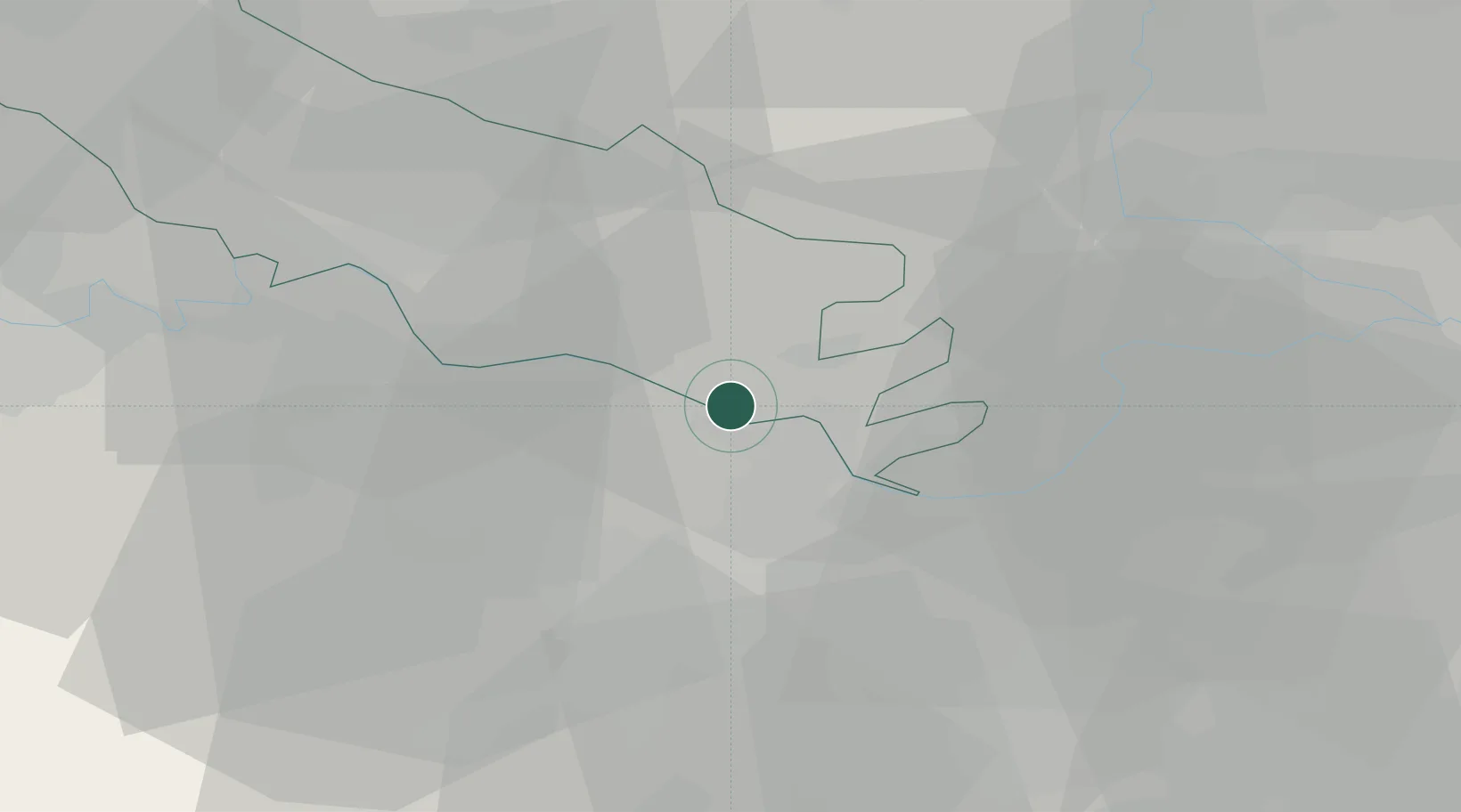
Hub Profile
Place type
District seat
Region
Lombardy
Population
2,789
Time zone
Europe/Rome
Elevation
28 m
Location
Nearby Logistics Neighbours
Cities
- 1San Giovanni in Croce8 km
- 2Colorno8 km
- 3Motta Baluffi9 km
- 4Roccabianca9 km
- 5Solarolo Rainerio9 km
Ports
- 1La Spezia108 km
- 2Marina Di Carrara111 km
- 3Chiavari - Lavagna111 km
- 4Viareggio127 km
- 5Genova130 km
Airports
Trade Zones
DatabookThe Record of Consolidated Knowledge
Italy beyond logistics?