Transport Functions
Rail
Road
Hub Profile
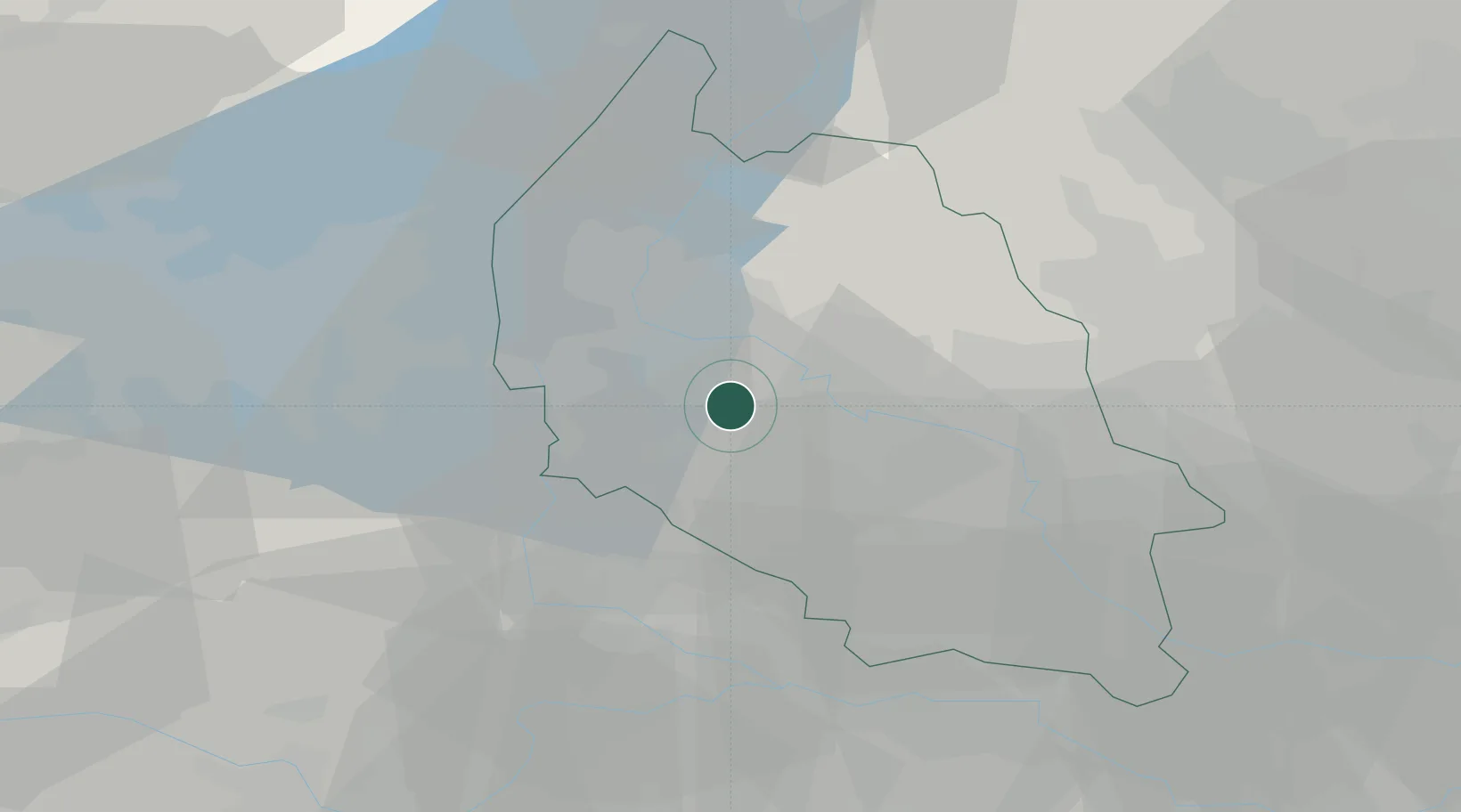
Place type
Populated place
Region
Veneto
Population
6,087
Time zone
Europe/Rome
Elevation
66 m
Location
Nearby Logistics Neighbours
Cities
- 1Verona2 km
- 2Custoza9 km
- 3Parona di Valpolicella9 km
- 4Vigasio9 km
- 5Palazzolo10 km
Ports
- 1Porto Di Chioggia110 km
- 2Porto Di Lido-Venezia118 km
- 3Porto Garibaldi132 km
- 4Porto Di Corsini148 km
- 5Marina Di Carrara167 km
Airports
Trade Zones
DatabookThe Record of Consolidated Knowledge
Italy beyond logistics?