Transport Functions
Rail
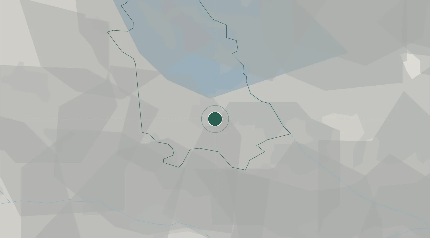
Hub Profile
Region
NO
Location
Nearby Logistics Neighbours
Cities
- 1Caltignaga8 km
- 2Pagliate8 km
- 3Granozzo12 km
- 4Confienza14 km
- 5Oleggio16 km
Ports
- 1Genova119 km
- 2Savona126 km
- 3Rada Di Vado132 km
- 4Chiavari - Lavagna139 km
- 5La Spezia178 km
Airports
- 1Cameri Air Base10 km
- 2Milan Malpensa International Airport22 km
- 3Varese-Venegono Airport39 km
- 4Biella-Cerrione Airfield40 km
- 5Milano Linate Airport52 km
Trade Zones
- 1Magazzini Generali Con Chiasso51 km
- 2Aosta Valley144 km
- 3Livigno Free Trade Zone166 km
- 4Port Franc Vevey195 km
- 5Geneva Freeport, La Praille, Geneva210 km
DatabookThe Record of Consolidated Knowledge
Italy beyond logistics?