UN/LOCODE hub · Italy
ITZWG

Villabate

38.0667°, 13.4333°
19,031
Population
1
Transport functions

Transport Functions

Multimodal
UN/LOCODE

Hub Profile

Place type
District seat
GeoNames
Region
Sicily
GeoNames
Population
19,031
GeoNames
Time zone
Europe/Rome
GeoNames
Elevation
47 m
GeoNames

Location

Location of ITZWG
Natural Earth 10m (public domain) · Sicily · ITZWG · 38.07, 13.43GoogleOSMYandex

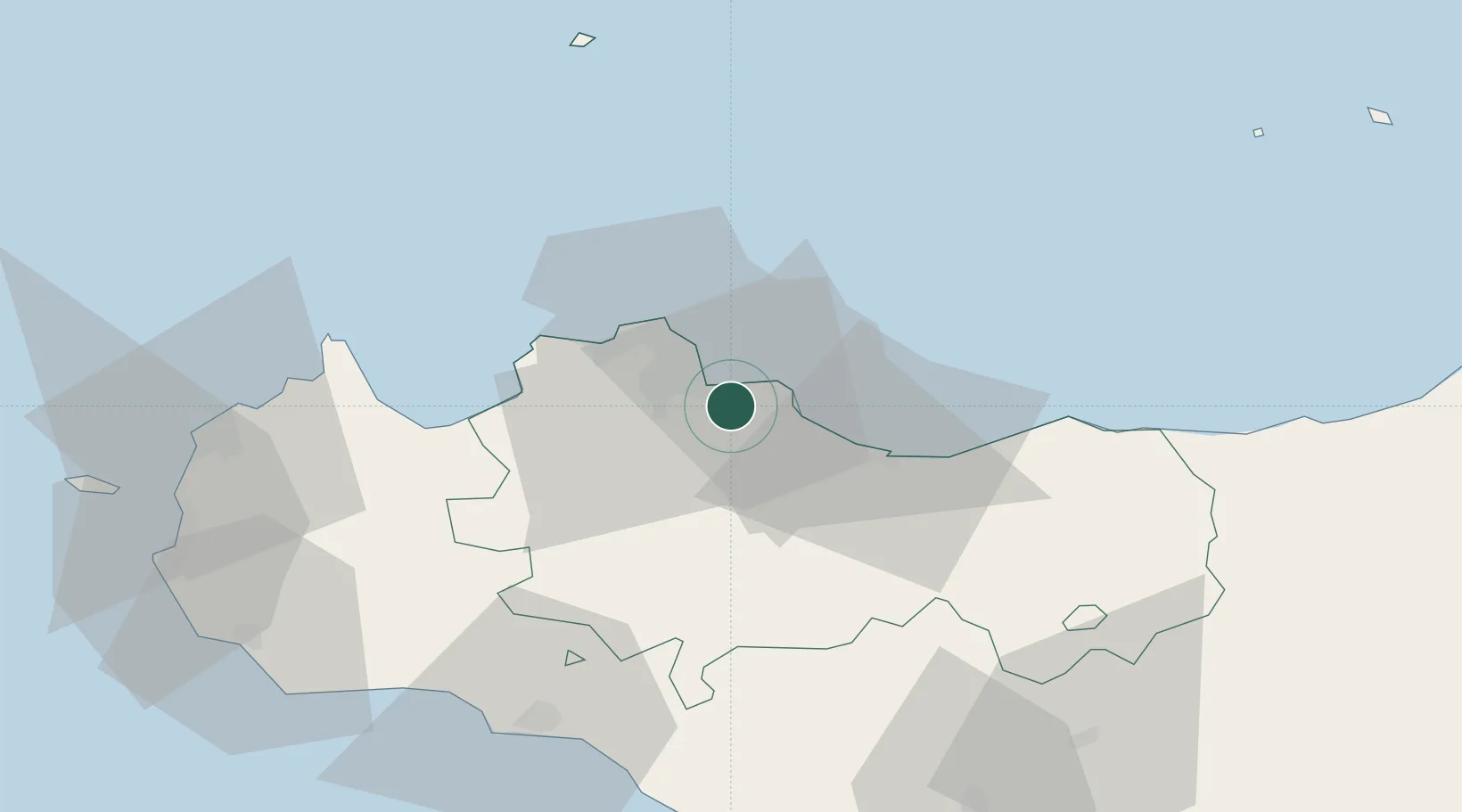
Nearby Logistics Neighbours

Cities
  1. 1Misilmeri4 km
  2. 2Bagheria6 km
  3. 3Porticello9 km
  4. 4Casteldaccia9 km
  5. 5Palermo9 km
Nearest neighbours — logibook spatial index (haversine) over the source coordinates
Ports
  1. 1Porto Di Palermo8 km
  2. 2Termini Imerese27 km
  3. 3Castellammare Del Golfo48 km
  4. 4San Vito Lo Capo62 km
  5. 5Sciacca70 km
Nearest neighbours — logibook spatial index (haversine) over the source coordinates
Airports
  1. 1Palermo-Boccadifalco Airport12 km
  2. 2Falcone–Borsellino Airport32 km
  3. 3Vincenzo Florio Airport Trapani-Birgi85 km
  4. 4Sigonella Navy Air Base150 km
  5. 5Comiso Airport158 km
Nearest neighbours — logibook spatial index (haversine) over the source coordinates
Trade Zones
  1. 1Sicily Special Economic Zone Area93 km
  2. 2Malta Freeport269 km
  3. 3Calabria Special Economic Zone279 km
  4. 4Campania Special Economic Zone (Naples and Salerno)299 km
  5. 5Bizerte Park of Economic Activities327 km
Nearest neighbours — logibook spatial index (haversine) over the source coordinates
DatabookThe Record of Consolidated Knowledge
Italy beyond logistics?
Browse databook

All Sources

LocationsUN/LOCODE
UN/LOCODE — free
LocationsGeoNames
CC BY 4.0
Portsthe NGA World Port Index
Public domain (US gov)
AirportsOurAirports
Public domain
Trade Zonesthe World Bank SEZ database
CC BY 4.0
Trade ZonesOpen Zone Map
CC BY
← Italy locations