Transport Functions
Road
Multimodal
Hub Profile
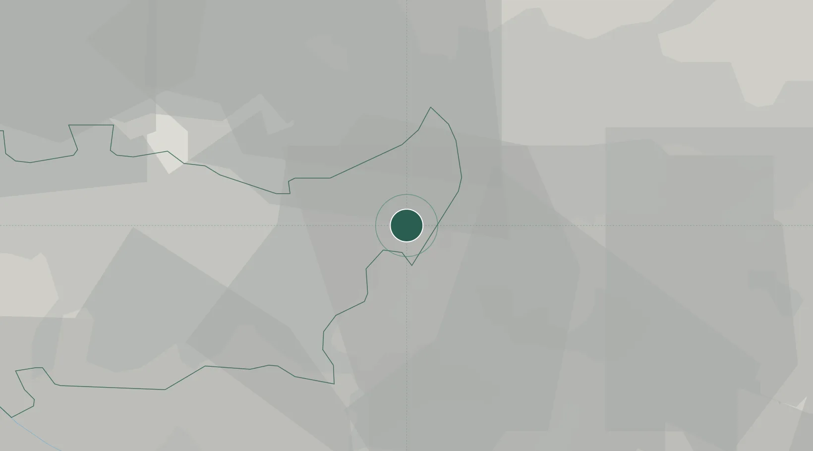
Place type
Populated place
Region
Lombardy
Population
2,704
Time zone
Europe/Rome
Elevation
125 m
Location
Nearby Logistics Neighbours
Cities
- 1Albignano1 km
- 2Pozzuolo Martesana1 km
- 3Bellinzago Lombardo5 km
- 4Masate8 km
- 5Casirate d'Adda8 km
Ports
- 1Genova130 km
- 2Chiavari - Lavagna133 km
- 3Savona152 km
- 4La Spezia158 km
- 5Rada Di Vado159 km
Airports
Trade Zones
DatabookThe Record of Consolidated Knowledge
Italy beyond logistics?