Transport Functions
Port
Road
Hub Profile
Place type
District seat
Region
Campania
Population
2,034
Time zone
Europe/Rome
Elevation
10 m
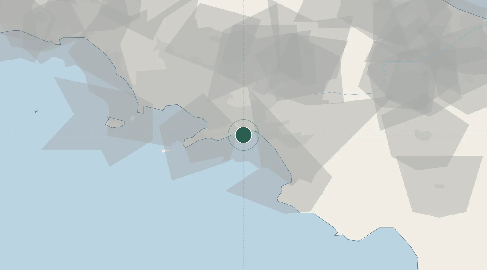
Location
Nearby Logistics Neighbours
Cities
- 1Cava de' Tirreni6 km
- 2Maiori6 km
- 3Salerno7 km
- 4Pellezzano9 km
- 5Amalfi9 km
Ports
- 1Salerno5 km
- 2Castellammare Di Stabia20 km
- 3Torre Annunziata24 km
- 4Torre Del Greco32 km
- 5Napoli41 km
Airports
- 1Salerno Costa d'Amalfi Airport18 km
- 2Naples International Airport43 km
- 3Grazzanise Air Base69 km
- 4Foggia Gino Lisa Airport112 km
- 5Amendola Air Base131 km
DatabookThe Record of Consolidated Knowledge
Italy beyond logistics?