Transport Functions
Port
Road
Hub Profile
Place type
District seat
Region
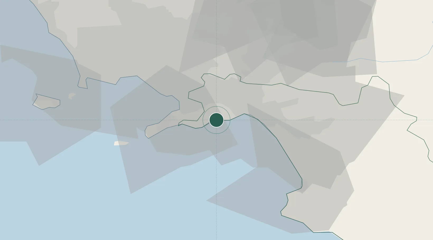
Campania
Population
5,268
Time zone
Europe/Rome
Elevation
5 m
Location
Nearby Logistics Neighbours
Cities
- 1Amalfi3 km
- 2Cetara6 km
- 3Cava de' Tirreni8 km
- 4Nocera Superiore10 km
- 5Gragnano11 km
Ports
- 1Salerno10 km
- 2Castellammare Di Stabia14 km
- 3Torre Annunziata19 km
- 4Torre Del Greco27 km
- 5Napoli36 km
Airports
- 1Salerno Costa d'Amalfi Airport24 km
- 2Naples International Airport39 km
- 3Grazzanise Air Base65 km
- 4Foggia Gino Lisa Airport115 km
- 5Amendola Air Base134 km
DatabookThe Record of Consolidated Knowledge
Italy beyond logistics?