UN/LOCODE hub · Italy
ITSAL
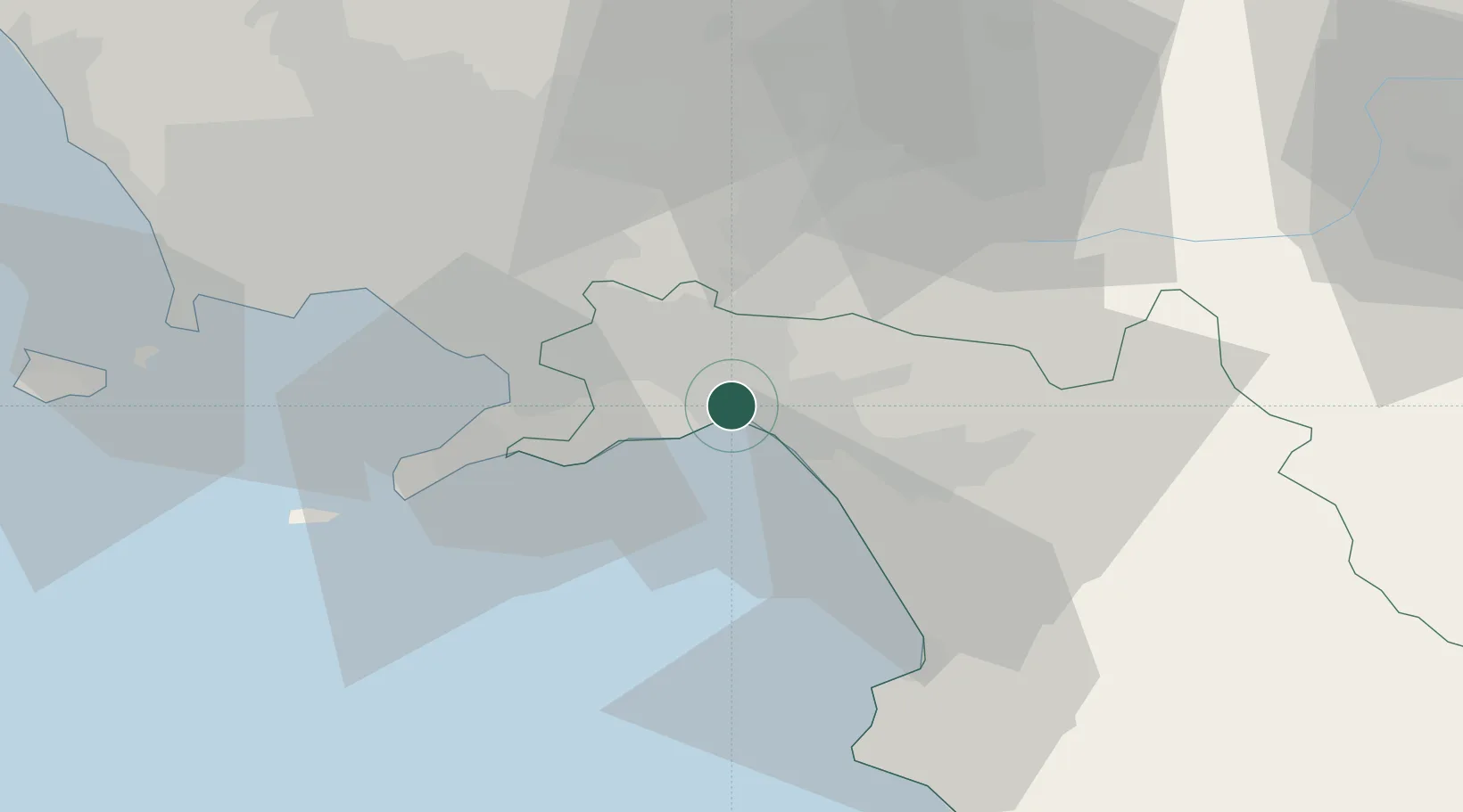
Salerno
40.6902°, 14.7556°
125,797
Population
2
Transport functions
1
Container terminals
Transport Functions
Port
Road
Hub Profile
Place type
Provincial seat
Region
Campania
Population
125,797
Time zone
Europe/Rome
Elevation
4 m
Logistics facilities
11
Container terminals
1
Location
Nearby Logistics Neighbours
Cities
- 1Pellezzano3 km
- 2Cava de' Tirreni5 km
- 3Cetara7 km
- 4Nocera Superiore9 km
- 5Maiori11 km
Ports
- 1Castellammare Di Stabia24 km
- 2Torre Annunziata27 km
- 3Torre Del Greco34 km
- 4Napoli44 km
- 5Bagnoli52 km
Airports
- 1Salerno Costa d'Amalfi Airport15 km
- 2Naples International Airport45 km
- 3Grazzanise Air Base70 km
- 4Foggia Gino Lisa Airport105 km
- 5Amendola Air Base124 km
DatabookThe Record of Consolidated Knowledge
Italy beyond logistics?