Transport Functions
Road
Multimodal
Hub Profile
Place type
Populated place
Region
Lombardy
Time zone
Europe/Rome
Elevation
17 m
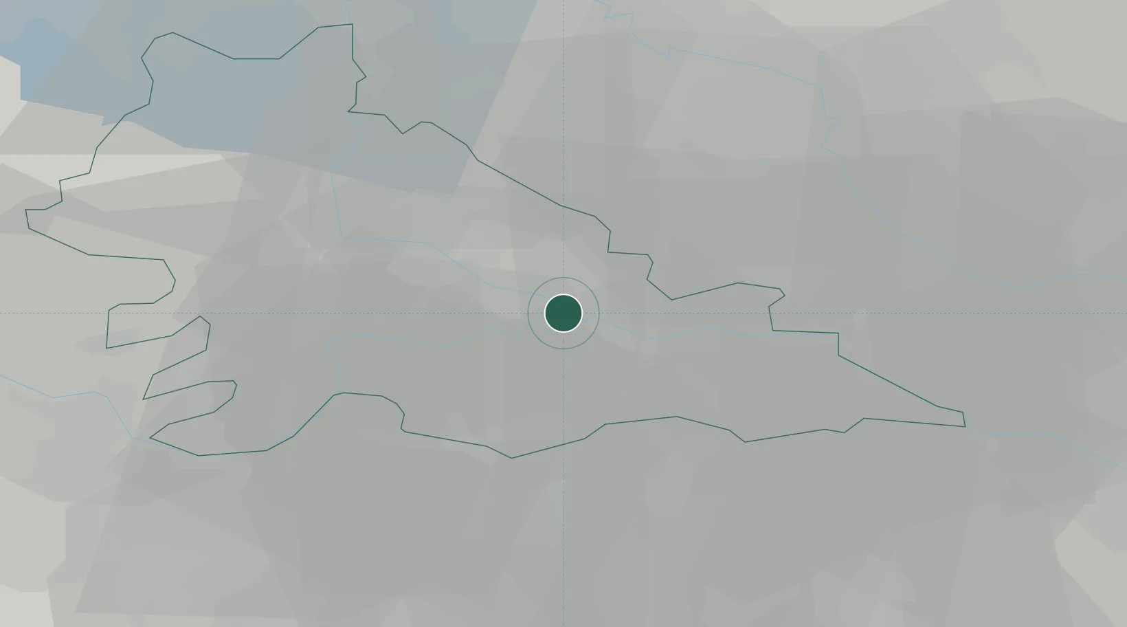
Location
Nearby Logistics Neighbours
Cities
- 1Bagnolo San Vito5 km
- 2San Benedetto Po6 km
- 3Quistello9 km
- 4Sorgà12 km
- 5Pegognaga12 km
Ports
- 1Porto Di Chioggia107 km
- 2Porto Garibaldi112 km
- 3Porto Di Lido-Venezia122 km
- 4Porto Di Corsini124 km
- 5Marina Di Carrara138 km
Airports
Trade Zones
DatabookThe Record of Consolidated Knowledge
Italy beyond logistics?