UN/LOCODE hub · Italy
ITSGI

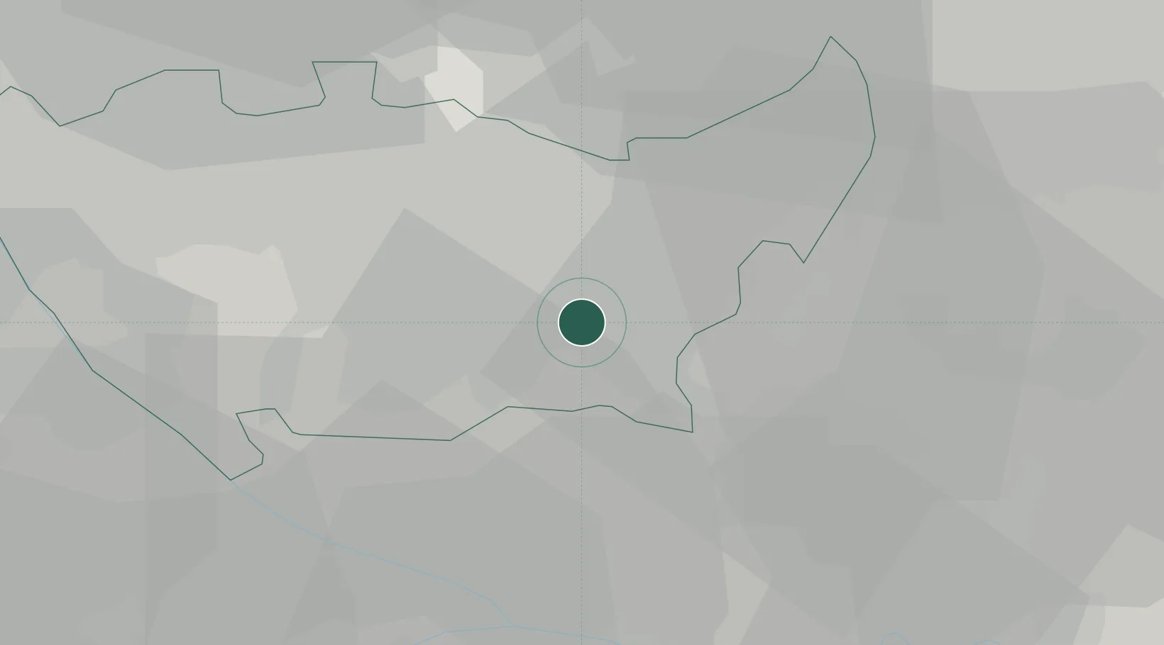
San Giuliano Milanese

45.4000°, 9.2833°
31,050
Population
3
Transport functions

Transport Functions

Rail
Road
Multimodal
UN/LOCODE

Hub Profile

Place type
District seat
GeoNames
Region
Lombardy
GeoNames
Population
31,050
GeoNames
Time zone
Europe/Rome
GeoNames
Elevation
98 m
GeoNames

Location

Location of ITSGI
Natural Earth 10m (public domain) · Lombardy · ITSGI · 45.40, 9.28GoogleOSMYandex

Nearby Logistics Neighbours

Cities
  1. 1San Donato Milanese2 km
  2. 2Sesto Ulteriano3 km
  3. 3Mediglia4 km
  4. 4Bettolino4 km
  5. 5Sant'Angelo Lodigiano9 km
Nearest neighbours — logibook spatial index (haversine) over the source coordinates
Ports
  1. 1Genova115 km
  2. 2Chiavari - Lavagna122 km
  3. 3Savona135 km
  4. 4Rada Di Vado142 km
  5. 5La Spezia151 km
Nearest neighbours — logibook spatial index (haversine) over the source coordinates
Airports
  1. 1Milano Linate Airport5 km
  2. 2Il Caravaggio International Airport45 km
  3. 3Varese-Venegono Airport49 km
  4. 4Cameri Air Base50 km
  5. 5Milan Malpensa International Airport50 km
Nearest neighbours — logibook spatial index (haversine) over the source coordinates
Trade Zones
  1. 1Magazzini Generali Con Chiasso56 km
  2. 2Livigno Free Trade Zone141 km
  3. 3Aosta Valley196 km
  4. 4Consorzio Zona Industriale e Porto Fluviale di Padova206 km
  5. 5Free Port of Venice236 km
Nearest neighbours — logibook spatial index (haversine) over the source coordinates
DatabookThe Record of Consolidated Knowledge
Italy beyond logistics?
Browse databook

All Sources

LocationsUN/LOCODE
UN/LOCODE — free
LocationsGeoNames
CC BY 4.0
Portsthe NGA World Port Index
Public domain (US gov)
AirportsOurAirports
Public domain
Trade Zonesthe World Bank SEZ database
CC BY 4.0
Trade ZonesOpen Zone Map
CC BY
← Italy locations