Transport Functions
Multimodal
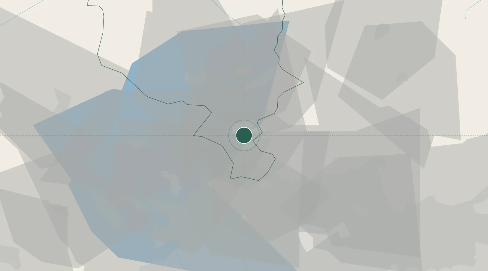
Hub Profile
Place type
Populated place
Region
Ticino
Time zone
Europe/Zurich
Elevation
296 m
Location
Nearby Logistics Neighbours
Cities
- 1Ruvigliana3 km
- 2Bre-Aldesago5 km
- 3Lanzo d'Intelvi6 km
- 4Bedano6 km
- 5Agno8 km
Ports
- 1Genova176 km
- 2Savona189 km
- 3Chiavari - Lavagna189 km
- 4Rada Di Vado195 km
- 5La Spezia221 km
Airports
- 1Lugano Airport4 km
- 2Varese-Venegono Airport27 km
- 3Milan Malpensa International Airport43 km
- 4Cameri Air Base55 km
- 5Milano Linate Airport65 km
Trade Zones
- 1Magazzini Generali Con Chiasso15 km
- 2Livigno Free Trade Zone107 km
- 3Aosta Valley168 km
- 4Port Franc Vevey191 km
- 5PESA - Port-Franc et Entrepôts de Lausanne-Chavornay SA200 km
DatabookThe Record of Consolidated Knowledge
Switzerland beyond logistics?