Transport Functions
Rail
Road
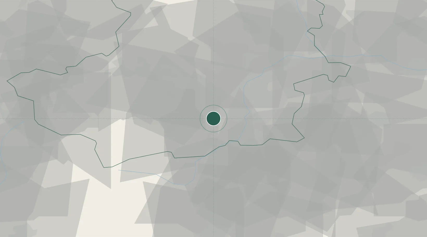
Hub Profile
Place type
District seat
Region
Piedmont
Population
7,507
Time zone
Europe/Rome
Elevation
246 m
Location
Nearby Logistics Neighbours
Cities
- 1Castagnole Piemonte5 km
- 2Candiolo6 km
- 3Scalenghe7 km
- 4Piossasco8 km
- 5La Loggia11 km
Ports
- 1Savona103 km
- 2Rada Di Vado104 km
- 3Imperia123 km
- 4Genova125 km
- 5San Remo126 km
Airports
- 1Torino-Aeritalia Airport18 km
- 2Turin Airport31 km
- 3Cuneo International Airport44 km
- 4Biella-Cerrione Airfield77 km
- 5Aosta Corrado Gex Airport91 km
Trade Zones
- 1Aosta Valley105 km
- 2ZFU LAriane134 km
- 3ZFU Grenoble148 km
- 4Magazzini Generali Con Chiasso150 km
- 5Geneva Freeport, La Praille, Geneva177 km
DatabookThe Record of Consolidated Knowledge
Italy beyond logistics?